Rietkol | |
|---|---|
 Rietkol 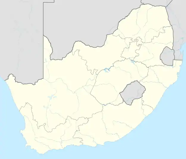 Rietkol | |
| Coordinates: 26°09′07″S 28°32′53″E / 26.152°S 28.548°E | |
| Country | South Africa |
| Province | Mpumalanga |
| District | Nkangala |
| Municipality | Victor Khanye |
| Area | |
| • Total | 9.98 km2 (3.85 sq mi) |
| Population (2011)[1] | |
| • Total | 2,812 |
| • Density | 280/km2 (730/sq mi) |
| Racial makeup (2011) | |
| • Black African | 36.5% |
| • Coloured | 0.6% |
| • Indian/Asian | 1.1% |
| • White | 61.3% |
| • Other | 0.5% |
| First languages (2011) | |
| • Afrikaans | 56.3% |
| • Zulu | 13.9% |
| • English | 11.2% |
| • Tsonga | 3.8% |
| • Other | 14.8% |
| Time zone | UTC+2 (SAST) |
| PO box | 2200 |
Rietkol is a town in Victor Khanye Local Municipality in the Mpumalanga province of South Africa.
References
- 1 2 3 4 "Main Place Rietkol". Census 2011.
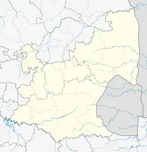
Municipalities and communities of Nkangala District Municipality, Mpumalanga | ||
|---|---|---|
District seat: Middelburg | ||
| Emalahleni | .svg.png.webp) Nkangala District within South Africa | |
| Steve Tshwete | ||
| Emakhazeni | ||
| Thembisile | ||
| Dr JS Moroka | ||
| Victor Khanye | ||
This article is issued from Wikipedia. The text is licensed under Creative Commons - Attribution - Sharealike. Additional terms may apply for the media files.