Sadayankuppam | |
|---|---|
Neighbourhood | |
 Sadayankuppam  Sadayankuppam  Sadayankuppam | |
| Coordinates: 13°11′24″N 80°17′21″E / 13.189894°N 80.289152°E | |
| Country | |
| State | |
| District | Chennai |
| Metro | Chennai |
| Elevation | 3 m (10 ft) |
| Languages | |
| • Official | Tamil |
| Time zone | UTC+5:30 (IST) |
| PIN | 600103 |
| Telephone code | 044 |
| Vehicle registration | TN-20-xxxx & TN-18-xxxx(new) |
| Governing body | Greater Chennai Corporation |
| Planning agency | CMDA |
| City | Chennai |
| Lok Sabha constituency | North Chennai |
| Vidhan Sabha constituency | Thiruvottriyur |
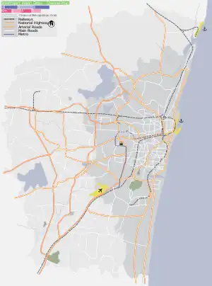
Sadayankuppam is a residential/industrial area in northern part of Chennai, a metropolitan city in Tamil Nadu, India. It is the largest ward in Greater Chennai Corporation in terms of area.[1]
Surroundings
Directions from Sadayankuppam | ||||||||||||||||
|---|---|---|---|---|---|---|---|---|---|---|---|---|---|---|---|---|
| ||||||||||||||||
References
- ↑ "Boundaries of 119 wards changed after delimitation". The Hindu. 16 December 2018.
External links
| District headquarters | 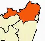 | |
|---|---|---|
| Country | ||
| State | ||
| Region | ||
| Revenue divisions | ||
| Taluks | ||
| Revenue blocks | ||
| Municipal corporations | ||
| Municipalities | ||
| Special grade town panchayats | ||
| Town panchayats | ||
| History | ||
| Places of interest |
| |
| Universities |
| |
This article is issued from Wikipedia. The text is licensed under Creative Commons - Attribution - Sharealike. Additional terms may apply for the media files.