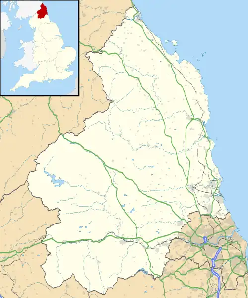
| Sandhoe | |
|---|---|
 Sandhoe Location within Northumberland | |
| Population | 519 (2011)[1] |
| OS grid reference | NY975665 |
| Unitary authority | |
| Ceremonial county | |
| Region | |
| Country | England |
| Sovereign state | United Kingdom |
| Post town | HEXHAM |
| Postcode district | NE46 |
| Police | Northumbria |
| Fire | Northumberland |
| Ambulance | North East |
| UK Parliament | |
Sandhoe is a hamlet and civil parish in Northumberland, England. It lies about 3 kilometres (2 mi) northwest of Corbridge and 3 kilometres south of Hadrian's Wall. The parish touches Acomb, Corbridge, Hexham and Wall.[2]
History
The name "Sandhoe" means 'Sandy hill-spur'.[3] Sandhoe is a deserted medieval village, the village was first recorded in the 13th century but by 1769 it had completely disappeared and is now covered by modern housing.[4] Sandhoe was formerly a township in the parish of St. John-Lee,[5] in 1866 Sandhoe became a civil parish in its own right.[6]
Landmarks
Listed buildings in the township include Beaufront Castle and Sandhoe Hall.
References
- ↑ "Parish population 2011". Retrieved 27 June 2015.
- ↑ "Sandhoe". Ordnance Survey. Retrieved 2 September 2021.
- ↑ "Sandhoe Key to English Place-names". The University of Nottingham. Retrieved 2 September 2021.
- ↑ "Sandhoe (Sandhoe)". Keys to the Past. Retrieved 2 September 2021.
- ↑ "History of Sandhoe, in Tynedale and Northumberland". A Vision of Britain through Time. Retrieved 2 September 2020.
- ↑ "Relationships and changes Sandhoe Tn/CP through time". A Vision of Britain through Time. Retrieved 2 September 2020.
External links
![]() Media related to Sandhoe at Wikimedia Commons
Media related to Sandhoe at Wikimedia Commons
This article is issued from Wikipedia. The text is licensed under Creative Commons - Attribution - Sharealike. Additional terms may apply for the media files.