Merelbeke | |
|---|---|
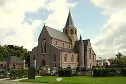 Church of Schelderode (2009) | |
 Flag  Coat of arms | |
Location of Merelbeke | |
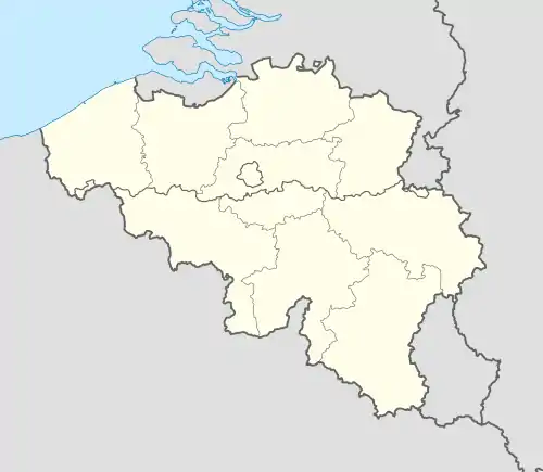 Merelbeke Location in Belgium
Location of Merelbeke in East Flanders 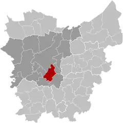 | |
| Coordinates: 51°00′N 03°45′E / 51.000°N 3.750°E | |
| Country | |
| Community | Flemish Community |
| Region | Flemish Region |
| Province | East Flanders |
| Arrondissement | Ghent |
| Government | |
| • Mayor | Filip Thienpont (CD&V) |
| • Governing party/ies | Open Vld, CD&V |
| Area | |
| • Total | 37 km2 (14 sq mi) |
| Population (2018-01-01)[1] | |
| • Total | 24,634 |
| • Density | 670/km2 (1,700/sq mi) |
| Postal codes | 9820 |
| NIS code | 44043 |
| Area codes | 09 |
| Website | www.merelbeke.be |
Merelbeke (Dutch pronunciation: [ˈmeːrəlbeːkə]) is a municipality located in the Flemish province of East Flanders, in Belgium. The municipality comprises the villages of Bottelare, Lemberge, Melsen, Merelbeke proper, Munte and Schelderode. In 2021, Merelbeke had a total population of 24,779. The total area is 36.65 km².[2]
References
- ↑ "Wettelijke Bevolking per gemeente op 1 januari 2018". Statbel. Retrieved 9 March 2019.
- ↑ "Bevolking per statistische sector - Sector 44043". Statistics Belgium. Retrieved 7 May 2022.
External links
 Media related to Merelbeke at Wikimedia Commons
- Official website (in Dutch)
- Webpage at Internet Archive
Places adjacent to Merelbeke | ||||||||||||||||
|---|---|---|---|---|---|---|---|---|---|---|---|---|---|---|---|---|
| ||||||||||||||||
| Aalst |  | |
|---|---|---|
| Dendermonde | ||
| Eeklo | ||
| Ghent | ||
| Oudenaarde | ||
| Sint-Niklaas | ||
| ||
This article is issued from Wikipedia. The text is licensed under Creative Commons - Attribution - Sharealike. Additional terms may apply for the media files.