Shahgarh | |
|---|---|
city | |
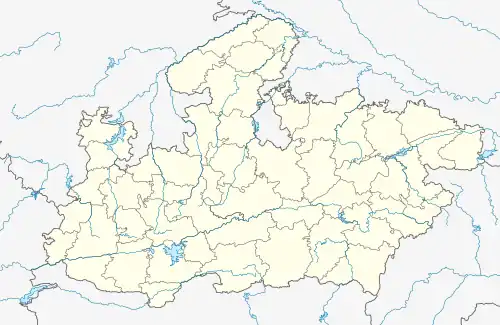 Shahgarh Location in Madhya Pradesh, India 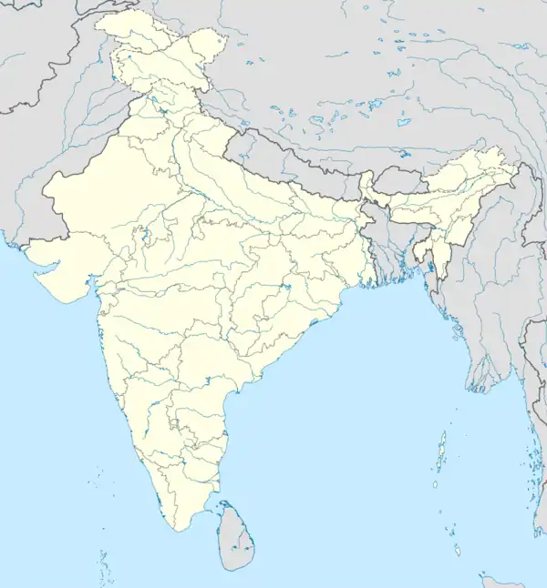 Shahgarh Shahgarh (India) | |
| Coordinates: 24°19′N 79°08′E / 24.32°N 79.13°E | |
| Country | |
| State | Madhya Pradesh |
| District | Sagar |
| Founded by | Bakhat Bali Shah |
| Government | |
| • Type | Nagar Parishad |
| Population (2011) | |
| • Total | 16,300 |
| Languages | |
| • Official | Hindi |
| Time zone | UTC+5:30 (IST) |
| ISO 3166 code | IN-MP |
| Vehicle registration | MP - 15 |
Shahgarh is a town and a tahsil in Sagar district in the Indian state of Madhya Pradesh. Its connected with National Highway No. 86 Route, National Highway 539 and MP SH 37.[1]
Geography
Shahgarh is located at 24°19′N 79°08′E / 24.32°N 79.13°E.[2] It has an average elevation of 411 metres (1,348 feet). Here you can visit Shahgarh Fort and seven Jain mandir.
Demographics
At the 2001 India census,[3] Shahgarh had a population of 14,585. Males constituted 52% of the population and females 48%. Shahgarh had an average literacy rate of 62%, higher than the national average of 59.5%: male literacy was 69% and female literacy 53%. 18% of the population were under 6 years of age.
See also
References
- ↑ "Infinity Foundation". Retrieved 27 August 2015.
- ↑ Falling Rain Genomics, Inc - Shahgarh
- ↑ "Census of India 2001: Data from the 2001 Census, including cities, villages and towns (Provisional)". Census Commission of India. Archived from the original on 16 June 2004. Retrieved 1 November 2008.
This article is issued from Wikipedia. The text is licensed under Creative Commons - Attribution - Sharealike. Additional terms may apply for the media files.