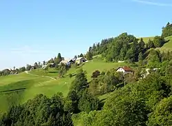
Smoldno | |
|---|---|
 | |
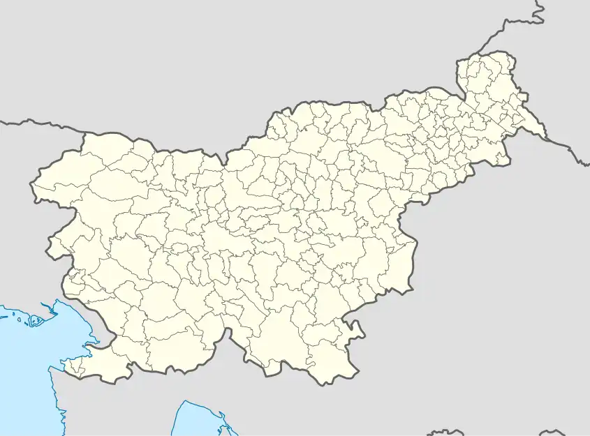 Smoldno Location in Slovenia | |
| Coordinates: 46°8′13.92″N 14°11′53.49″E / 46.1372000°N 14.1981917°E | |
| Country | |
| Traditional region | Upper Carniola |
| Statistical region | Upper Carniola |
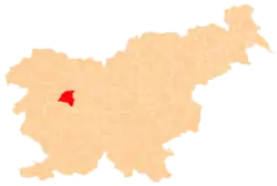
| Municipality | Gorenja Vas–Poljane |
| Area | |
| • Total | 1.39 km2 (0.54 sq mi) |
| Elevation | 662.3 m (2,172.9 ft) |
| Population (2020) | |
| • Total | 35 |
| • Density | 25/km2 (65/sq mi) |
| [1] | |
Smoldno (pronounced [ˈsmoːu̯dnɔ]; German: Smoldnim[2]) is a small settlement in the hills northeast of Poljane nad Škofjo Loko in the Municipality of Gorenja Vas–Poljane in the Upper Carniola region of Slovenia.[3]
References
- ↑ Statistical Office of the Republic of Slovenia
- ↑ Leksikon občin kraljestev in dežel zastopanih v državnem zboru, vol. 6: Kranjsko. 1906. Vienna: C. Kr. Dvorna in Državna Tiskarna, p. 60.
- ↑ Gorenja Vas–Poljane municipal site
External links
 Media related to Smoldno at Wikimedia Commons
- Smoldno on Geopedia
This article is issued from Wikipedia. The text is licensed under Creative Commons - Attribution - Sharealike. Additional terms may apply for the media files.