Stavtrup | |
|---|---|
Neighborhood | |
 | |
 Stavtrup | |
| Coordinates: 56°07′50″N 10°06′58″E / 56.130674°N 10.116059°E | |
| Country | Kingdom of Denmark |
| Regions of Denmark | Central Denmark Region |
| Municipality | Aarhus Municipality |
| District | Viby J |
| Postal code | 8260 |
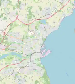
Stavtrup is a western suburb of Aarhus in Denmark. It is located 7 km from the city centre and has a population of 3,729 (1 January 2010).[1] Since 1 January 2011, Stavtrup is officially a part of Aarhus' urban area under the postal district of Viby J.
Stavtrup is largely a residential area and there is easy access to the nature around Brabrand Lake.
References
External links
Wikimedia Commons has media related to Stavtrup.
56°07′50″N 10°06′58″E / 56.130674°N 10.116059°E
This article is issued from Wikipedia. The text is licensed under Creative Commons - Attribution - Sharealike. Additional terms may apply for the media files.
