| Stryneelva Strynselva | |
|---|---|
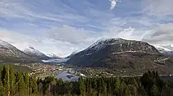 Stryneelva flows through the village of Stryn | |
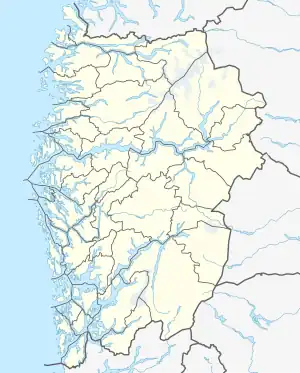 Location of the river 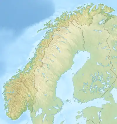 Stryneelva (Norway) | |
| Location | |
| Country | Norway |
| County | Vestland |
| Municipalities | Stryn Municipality |
| Physical characteristics | |
| Source | Oppstrynsvatn |
| • location | Stryn, Norway |
| • coordinates | 61°55′37″N 6°50′41″E / 61.92704°N 6.84476°E |
| • elevation | 28.4 metres (93 ft) |
| Mouth | Nordfjorden |
• location | Stryn, Norway |
• coordinates | 61°54′07″N 6°42′46″E / 61.90182°N 6.71273°E |
• elevation | 0 metres (0 ft) |
| Length | 8 km (5.0 mi) |
| Basin size | 547 km2 (211 sq mi) |
| Basin features | |
| River system | Strynevassdraget |
Stryneelva or Strynselva is a river in the municipality of Stryn in Vestland county, Norway. It has a length of about 8 kilometres (5.0 mi), starting from the lake Oppstrynsvatn, assuming a meandering course through the Strynedalen valley and reaching the Nordfjorden at the village of Stryn. The river is among the best salmon rivers in Norway.[1]
See also
References
- ↑ Godal, Anne Marit (ed.). "Stryneelva". Store norske leksikon (in Norwegian). Oslo: Norsk nettleksikon. Retrieved 6 May 2014.
This article is issued from Wikipedia. The text is licensed under Creative Commons - Attribution - Sharealike. Additional terms may apply for the media files.