Sukali | |
|---|---|
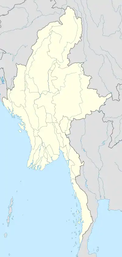 Sukali Location in Myanmar | |
| Coordinates: 16°9′16″N 98°35′46″E / 16.15444°N 98.59611°E | |
| Country | |
| State | Kayin State |
| District | Myawaddy District |
| Township | Myawaddy Township |
| Population (2014) | |
| • City | 5,703[1] |
| • Urban | 342 |
| • Rural | 5,361 |
| • Religions | Buddhism |
| Time zone | UTC+6.30 (MST) |
| Area code | 58[2] |
Sukali[3] (Burmese: စုကလိမြို့) is a town in Myawaddy Township, Myawaddy District, in the Kayin State of Myanmar.
References
- ↑ "Population of Myanmar". Ministry of Immigration and Population (Myanmar) (in Burmese). 2014-03-29. Retrieved 9 April 2016.
- ↑ "Myanmar Area Codes". Retrieved 2009-04-10.
- ↑ Sukali (Approved) at GEOnet Names Server, United States National Geospatial-Intelligence Agency
External links
- " Sukali Map — Satellite Images of Sukali" at Maplandia
Capital: Hpa-an | ||
| Hpa-an District | 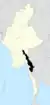 | |
| Hpapun District | ||
| Kawkareik District | ||
| Myawaddy District | ||
| Cities and towns | ||
This article is issued from Wikipedia. The text is licensed under Creative Commons - Attribution - Sharealike. Additional terms may apply for the media files.