Sursa | |
|---|---|
Populated place | |
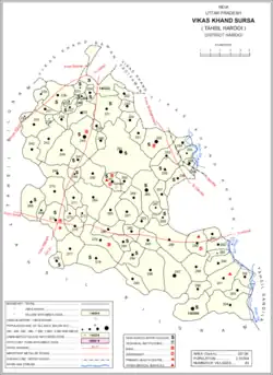 Map showing Sursa (#263) in Sursa CD block | |
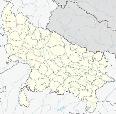 Sursa Location in Uttar Pradesh, India 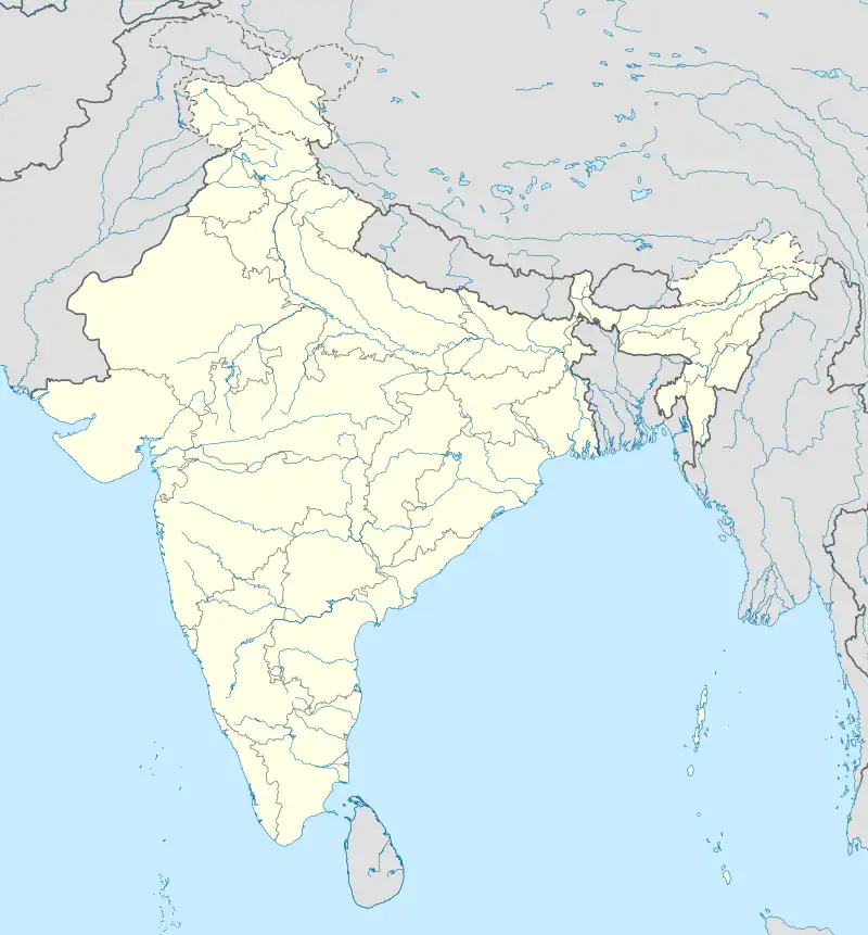 Sursa Sursa (India) | |
| Coordinates: 27°17′09″N 80°07′40″E / 27.285746°N 80.12764°E[1] | |
| Country | |
| State | Uttar Pradesh |
| District | Hardoi |
| Area | |
| • Total | 2.50 km2 (0.97 sq mi) |
| Population (2011)[2] | |
| • Total | 2,157 |
| • Density | 860/km2 (2,200/sq mi) |
| Languages | |
| • Official | Hindi |
| Time zone | UTC+5:30 (IST) |
Sursa is a village and corresponding community development block in Hardoi district of Uttar Pradesh, India.[2] Located 14[3] or 15[4] km from the city of Hardoi, the village hosts a market on Mondays and Thursdays.[3][4] The village has two primary schools and one clinic.[2] As of 2011, the population of Sursa is 2,157, in 373 households.[2]
Demographic history
The 1961 census recorded Sursa as comprising 1 hamlet, with a total population of 818 (431 male and 387 female), in 174 households and 127 physical houses.[5] The area of the village was given as 636 acres.[5]
The 1981 census recorded Sursa as having a population of 1,269, in 256 households, and covering an area of 257.39 hectares.[4]
Villages
Sursa CD block has the following 83 villages:[2]
| Village name | Total land area (hectares) | Population (in 2011) |
|---|---|---|
| Hardoi (Gramin) | 877.6 | 2,936 |
| Rajepur | 131.1 | 479 |
| Tans Khera | 123.2 | 1,541 |
| Barbatapur | 48 | 562 |
| Marhiya | 47.8 | 380 |
| Sikandarpur | 165.3 | 798 |
| Nanamau | 37.5 | 0 |
| Aseulee | 380.9 | 2,125 |
| Fardapur | 109.7 | 1,650 |
| Kasrawna | 682.2 | 4,557 |
| Bahloli | 194.3 | 1,266 |
| Sariyan | 150.2 | 1,201 |
| Ghosar | 279.4 | 1,889 |
| Akhnapur | 135.1 | 977 |
| Shahbuddinpur | 635.7 | 4,843 |
| Madhopur | 179.7 | 2,049 |
| Kauthaliya | 168.4 | 1,389 |
| Gurra | 27.4 | 0 |
| Sathra | 518.2 | 3,423 |
| Ghamoiya | 64.9 | 470 |
| Peng | 367.6 | 3,199 |
| Sarra | 590.1 | 3,400 |
| Joora | 708.4 | 3,887 |
| Bhadeicha | 863.2 | 6,114 |
| Deoriya | 127.8 | 1,296 |
| Dholiya | 256.2 | 2,423 |
| Bausra | 461.4 | 2,274 |
| Malihamau | 152.8 | 855 |
| Oeranevliya | 470.1 | 3,569 |
| Meuna Maheshpur | 273.9 | 1,816 |
| Lalpur | 576.3 | 5,923 |
| Singhua Mau | 340 | 2,780 |
| Kordwa | 201.1 | 1,016 |
| Abdulpur | 168.4 | 719 |
| Maina Mau | 430.2 | 3,854 |
| Bardaua | 277.9 | 2,530 |
| Pachkohra | 332.6 | 2,674 |
| Keharmau | 150 | 1,553 |
| Seharmau | 44.5 | 181 |
| Khaju Rahrn | 2,125.4 | 16,921 |
| Nevada | 155 | 1,310 |
| Sursa (block headquarters) | 250 | 2,157 |
| Turteepur | 796.6 | 3,799 |
| Umrapur | 540.5 | 4,203 |
| Sarsaiya | 328.2 | 2,329 |
| Bahraiya | 270.4 | 1,500 |
| Sugwan | 568 | 3,805 |
| Ramapur | 101.3 | 622 |
| Husiyapur | 561.6 | 3,016 |
| Kam Rauli | 249.4 | 1,521 |
| Bhitha | 123.7 | 848 |
| Mohakampur | 124.4 | 701 |
| Fatiyapur | 669.8 | 4,841 |
| Vira Himpur | 257.6 | 2,021 |
| Lalolee | 159.1 | 1,111 |
| Mona | 611.7 | 3,736 |
| Andhara | 633 | 2,490 |
| Tundwal | 705.9 | 4,186 |
| Dalelpur | 427 | 2,212 |
| Dahigawan | 219.3 | 1,221 |
| Tikari | 270.3 | 2,362 |
| Dhenni Tisaurn | 378.2 | 1,437 |
| Dahti Salukpur | 376.3 | 3,125 |
| Aincha Mau | 376.3 | 3,125 |
| Mayoni | 813.8 | 5,363 |
| Bhataura | 238 | 559 |
| Kairmar | 176.5 | 793 |
| Marsa | 906.7 | 3,557 |
| Arongapur | 451.7 | 2,581 |
| Hathiyai | 157.5 | 1,179 |
| Hardha | 217.9 | 2,341 |
| Bhawanipur | 132.9 | 442 |
| Gangapur | 311.7 | 1,852 |
| Mahura Kalan | 364.9 | 2,156 |
| Odra Pachlai | 1,062.2 | 4,745 |
| Sautera | 927 | 6,047 |
| Beekapur | 755.2 | 4,004 |
| Achra Mau | 297.6 | 1,788 |
| Pahnutera | 657.6 | 5,072 |
| Bannapur | 682.7 | 3,059 |
| Bhelawau | 323.8 | 2,605 |
| Matua | 268.9 | 1,359 |
| Sahoriya Bujurg | 857.3 | 4,585 |
References
- ↑ "GeoNames Search". geonames.nga.mil. Archived from the original on 12 April 2014. Retrieved 26 July 2023.
- 1 2 3 4 5 6 "Census of India 2011: Uttar Pradesh District Census Handbook - Hardoi, Part A (Village and Town Directory)" (PDF). Census 2011 India. pp. 353–70. Retrieved 11 June 2021.
- 1 2 Census 1971 Uttar Pradesh: District Census Handbook Part X-A: Village & Town Directory, District Hardoi (PDF). 1972. pp. 102–3. Retrieved 11 June 2021.
- 1 2 3 Census 1981 Uttar Pradesh: District Census Handbook Part XIII-A: Village & Town Directory, District Hardoi (PDF). 1982. pp. 138–9. Retrieved 11 June 2021.
- 1 2 Census 1961: District Census Handbook, Uttar Pradesh (36 - Hardoi District) (PDF). Lucknow. 1965. pp. 158–9, lxviii-lxix of section "Hardoi Tahsil". Retrieved 11 June 2021.
{{cite book}}: CS1 maint: location missing publisher (link)
This article is issued from Wikipedia. The text is licensed under Creative Commons - Attribution - Sharealike. Additional terms may apply for the media files.