Tagoat
Teach Gót | |
|---|---|
Village | |
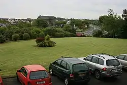 Village and N25 road | |
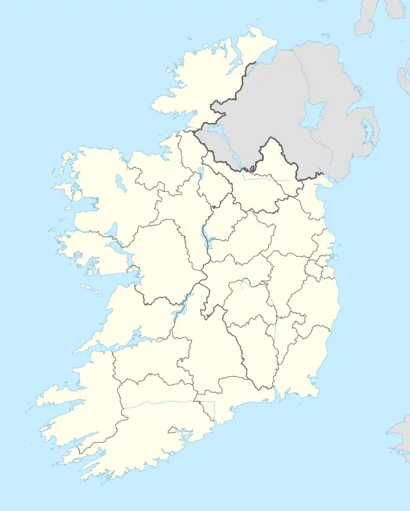 Tagoat Location in Ireland | |
| Coordinates: 52°14′38″N 6°23′20″W / 52.244°N 6.389°W | |
| Country | Ireland |
| Province | Leinster |
| County | County Wexford |
| Time zone | UTC+0 (WET) |
| • Summer (DST) | UTC-1 (IST (WEST)) |
Tagoat (Irish: Teach Gót)[1] is a village in County Wexford, Ireland. It is located on the N25 and R736 roads, to the west of Rosslare Harbour.[2][3]
The village is located in the historic barony of Forth.[4] It has a Roman Catholic church and a GAA team dedicated to St. Mary.[5]
See also
References
- ↑ "Teach Gót / Tagoat". logainm.ie. Irish Placenames Commission. Retrieved 25 July 2020.
- ↑ "Tagoat". Mapcarta. Retrieved 24 July 2020.
- ↑ Thom, Alexander (1859). Thom's Almanac and Official Directory of the United Kingdom of Great Britain and Ireland for the Year. Thom.
- ↑ "Tagoat". Topographical Dictionary of Ireland. Samuel Lewis. 1837.
- ↑ "Tagoat | The Schools' Collection". dúchas.ie. Retrieved 24 July 2020.
Places in County Wexford | ||
|---|---|---|
| Towns | 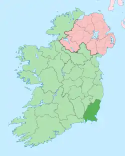 | |
| Villages and Townlands |
| |
| ||
This article is issued from Wikipedia. The text is licensed under Creative Commons - Attribution - Sharealike. Additional terms may apply for the media files.