Tamku
ताम्कु | |
|---|---|
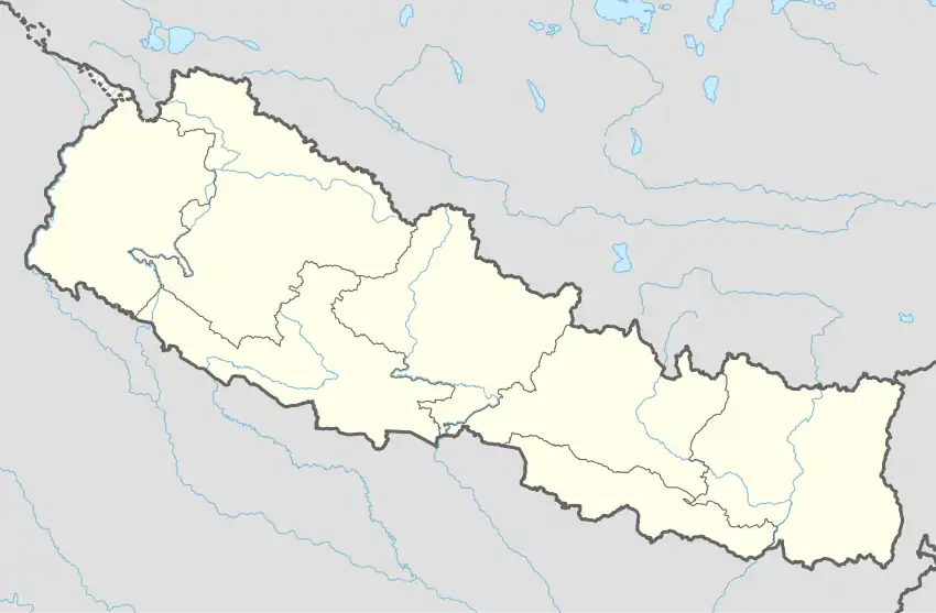 Tamku Location in Nepal | |
| Coordinates: 27°35′N 87°04′E / 27.58°N 87.06°E | |
| Country | |
| Zone | Kosi Zone |
| District | Sankhuwasabha District |
| Population (1991) | |
| • Total | 3,044 |
| Time zone | UTC+5:45 (Nepal Time) |
| Postal code | 56903 |
| Area code | 029 |
Tamku is a village development committee in Sankhuwasabha District in the Kosi Zone of north-eastern Nepal. At the time of the 1991 Nepal census it had a population of 3044 people living in 588 individual households.[1]
List of villages
- Sibha
- Lakuwa
- Yachamkha
- Sintup
- Saptael
- Kanpek
- Sikidim
- Saija
- Pantima
- Khanigaun
- kolba
References
- ↑ "Nepal Census 2001". Nepal's Village Development Committees. Digital Himalaya. Retrieved 19 November 2008.
External links
Headquarters: Khandbari Municipality | ||
| Rural municipalities | 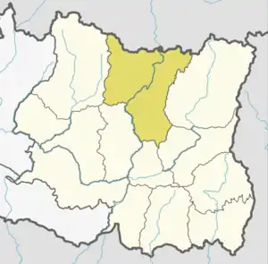 | |
| Municipalities | ||
This article is issued from Wikipedia. The text is licensed under Creative Commons - Attribution - Sharealike. Additional terms may apply for the media files.