Taunglwe | |
|---|---|
Village | |
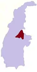
 Taunglwe Location in Burma | |
| Coordinates: 24°14′N 95°51′E / 24.233°N 95.850°E | |
| Country | |
| Region | Sagaing Region |
| District | Katha District |
| Township | Banmauk Township |
| Time zone | UTC+6.30 (MST) |
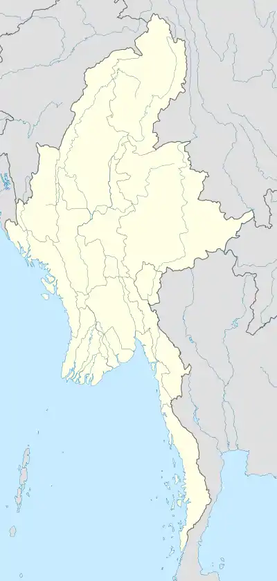
Taunglwe is a village in Banmauk Township, Katha District, in the Sagaing Region of northern-central Burma.[1][2]
References
- ↑ Google (29 May 2023). "Taunglwe" (Map). Google Maps. Google. Retrieved 29 May 2023.
- ↑ Microsoft; Nokia (29 May 2023). "Taunglwe" (Map). Bing Maps. Microsoft. Retrieved 29 May 2023.
External links
This article is issued from Wikipedia. The text is licensed under Creative Commons - Attribution - Sharealike. Additional terms may apply for the media files.