| Texelspitze | |
|---|---|
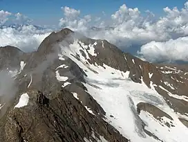 Texelspitze from Roteck | |
| Highest point | |
| Elevation | 3,318 m (10,886 ft) |
| Prominence | 145 m (476 ft) |
| Parent peak | Roteck |
| Isolation | 1 km (0.62 mi) |
| Coordinates | 46°43′15″N 10°58′17″E / 46.72083°N 10.97139°E |
| Geography | |
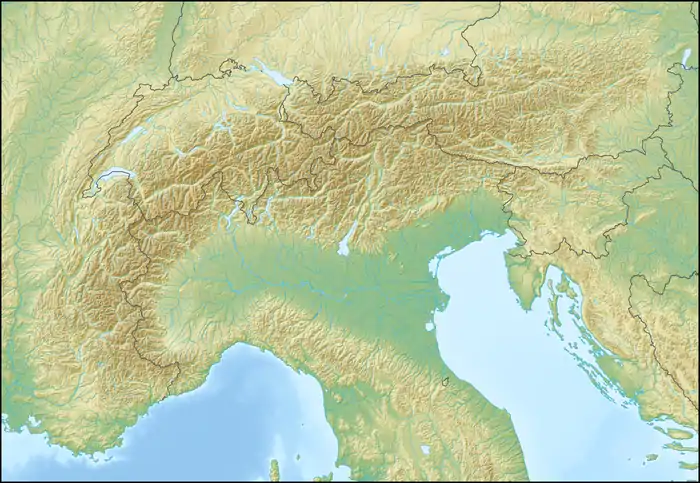 Texelspitze Location in the Alps | |
| Location | South Tyrol, Italy |
| Parent range | Ötztal Alps |
| Climbing | |
| First ascent | 22 jul 1871 by Theodor Petersen and his guides L. Ennemoser and J. Hellriegl |
| Easiest route | Over the southeast face |
The Texelspitze (Italian: Cima Tessa) is the second highest mountain in the Texel group (Gruppo di Tessa) of the Ötztal Alps. The highest mountain of this group is Roteck which is 19m higher.[1]
References
- ↑ "Roteck / Monterosso". Summit Post. Retrieved October 6, 2022.
This article is issued from Wikipedia. The text is licensed under Creative Commons - Attribution - Sharealike. Additional terms may apply for the media files.