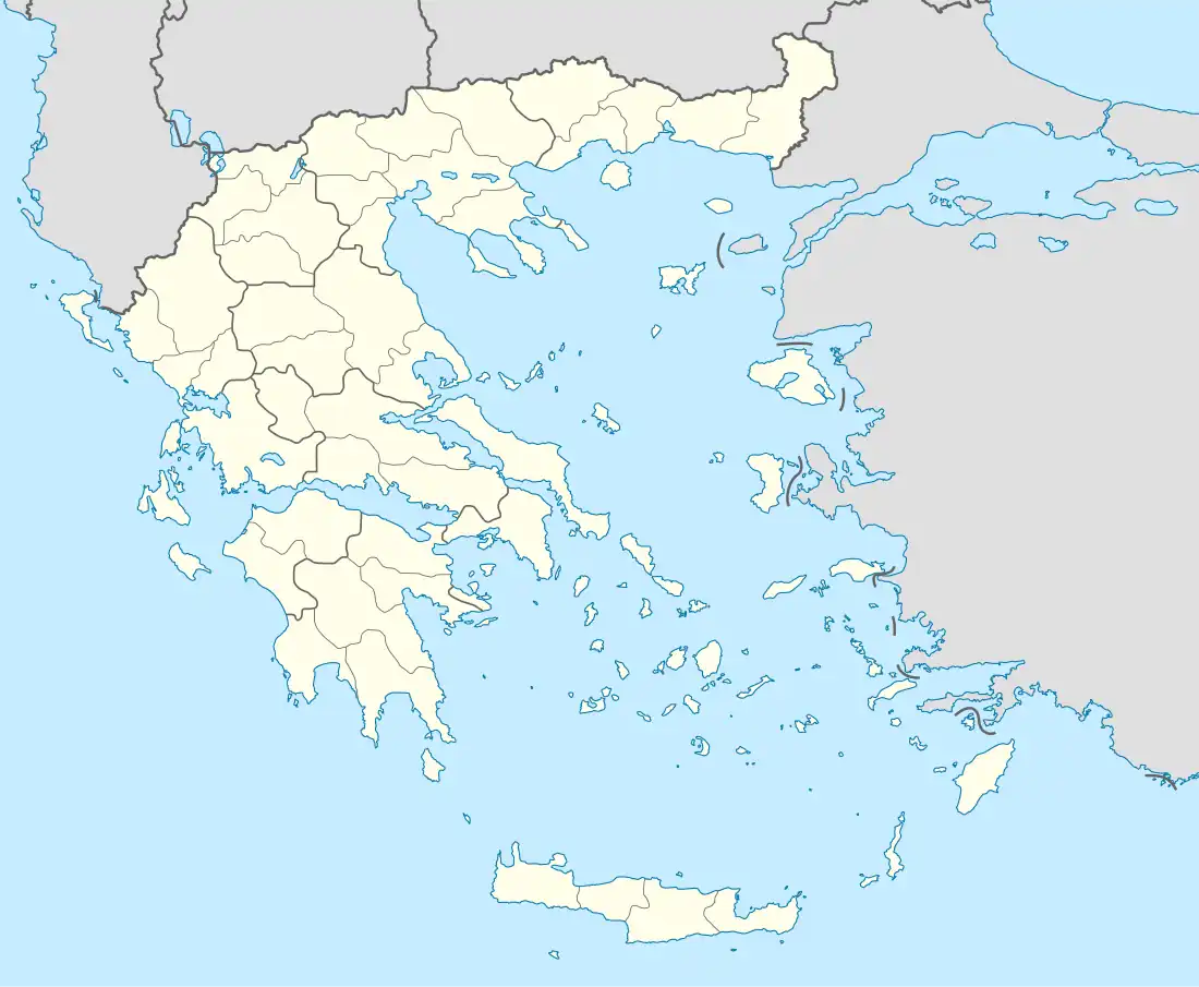
Thespies
Θεσπιές | |
|---|---|
 Thespies Location within the regional unit 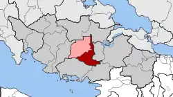 | |
| Coordinates: 38°18′N 23°09′E / 38.300°N 23.150°E | |
| Country | Greece |
| Administrative region | Central Greece |
| Regional unit | Boeotia |
| Municipality | Aliartos |
| • Municipal unit | 108.152 km2 (41.758 sq mi) |
| Population (2011)[1] | |
| • Municipal unit | 4,793 |
| • Municipal unit density | 44/km2 (110/sq mi) |
| Community | |
| • Population | 1,139 (2011) |
| • Area (km2) | 12.725 |
| Time zone | UTC+2 (EET) |
| • Summer (DST) | UTC+3 (EEST) |
| Vehicle registration | ΒΙ |
Thespies (Greek: Θεσπιές; before 1934: Ερημόκαστρο Erimókastro[2]) is a village in Boeotia, Greece. A former municipality, which included the village, shared the same name. Since the 2011 local government reform it is part of the municipality Aliartos, of which it is a municipal unit.[3] Population 4,793 (2011). The municipal unit has an area of 108.152 km2, the community 12.725 km2.[4]
Thespies is named after the ancient city of Thespiae. Thespies or then Erimokastro used to be an Arvanite settlement of 1.095 people in 1907.
References
- 1 2 "Απογραφή Πληθυσμού - Κατοικιών 2011. ΜΟΝΙΜΟΣ Πληθυσμός" (in Greek). Hellenic Statistical Authority.
- ↑ Name changes of settlements in Greece
- ↑ "ΦΕΚ B 1292/2010, Kallikratis reform municipalities" (in Greek). Government Gazette.
- ↑ "Population & housing census 2001 (incl. area and average elevation)" (PDF) (in Greek). National Statistical Service of Greece.
This article is issued from Wikipedia. The text is licensed under Creative Commons - Attribution - Sharealike. Additional terms may apply for the media files.