Thipparthi | |
|---|---|
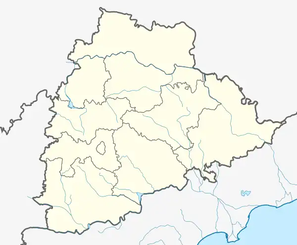 Thipparthi Location in Telangana, India 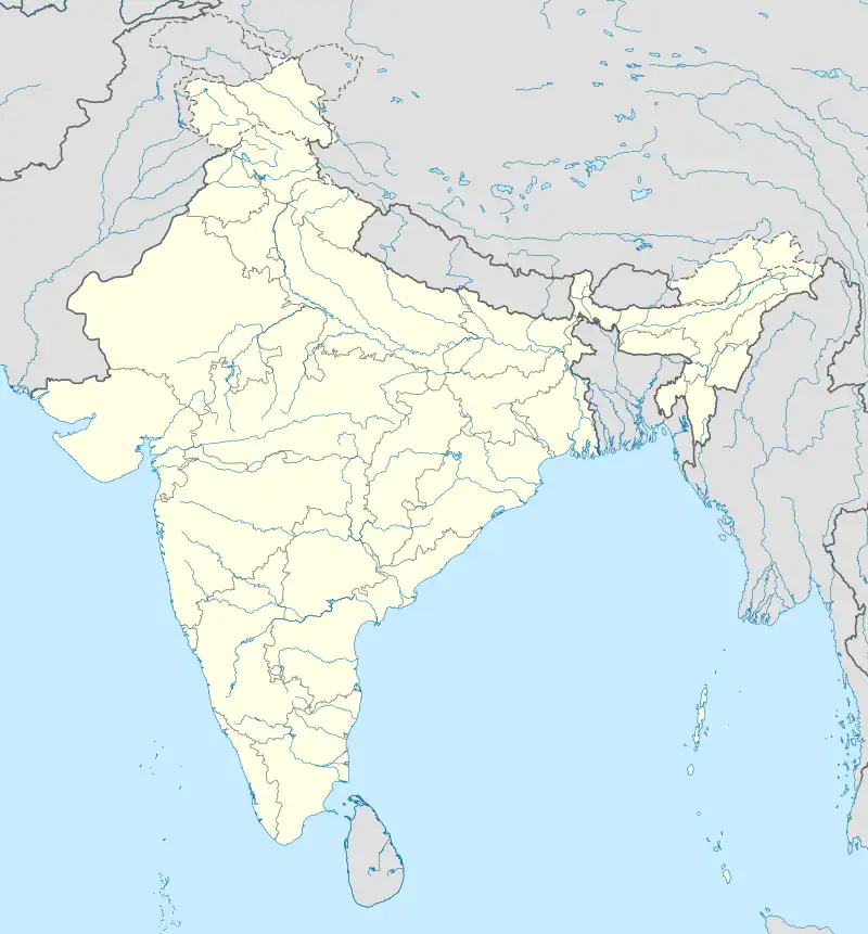 Thipparthi Thipparthi (India) | |
| Coordinates: 17°01′00″N 79°25′00″E / 17.0167°N 79.4167°E | |
| Country | |
| State | Telangana |
| District | Nalgonda |
| Elevation | 221 m (725 ft) |
| Languages | |
| • Official | Telugu |
| Time zone | UTC+5:30 (IST) |
| PIN | 508247 |
| Telephone code | 08682 |
| Vehicle registration | TS |
| Nearest cities | Nalgonda, Suryapet |
| Lok Sabha constituency | Nalgonda |
| Vidhan Sabha constituency | Nalgonda |
| Website | telangana |
Thipparthy is a village in the Nalgonda district in Telangana. It is located in Thipparthy mandal of Nalgonda division. Gunda Sathyanarayana served as sarpanch for 15 years.[1]
Geography
Tipparti is located at 17°01′00″N 79°25′00″E / 17.0167°N 79.4167°E.[2] It has an average elevation of 221 metres (728 ft).
References
- ↑
- ↑ "Maps, Weather, and Airports for Tipparti, India". fallingrain.com.
This article is issued from Wikipedia. The text is licensed under Creative Commons - Attribution - Sharealike. Additional terms may apply for the media files.