Tresviso | |
|---|---|
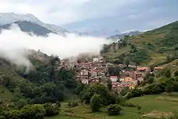 View of Tresviso from the trail | |
_Mapa.svg.png.webp) Location of Treviso | |
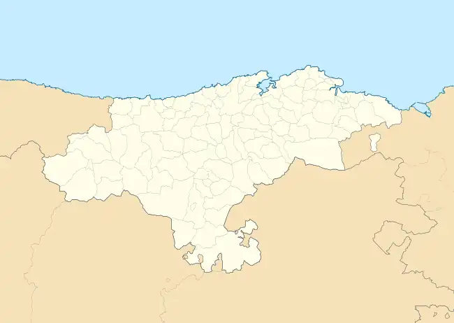 Tresviso Location of Tresviso in Cantabria 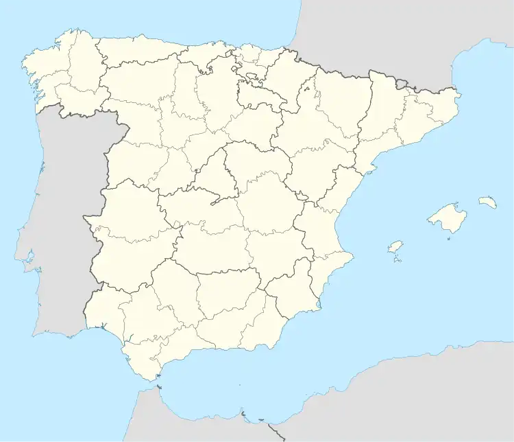 Tresviso Location of Tresviso in Spain | |
| Coordinates: 43°15′30″N 4°40′0″W / 43.25833°N 4.66667°W | |
| Country | |
| Autonomous community | |
| Province | Cantabria |
| Comarca | Liébana |
| Judicial district | San Vicente de la Barquera |
| Government | |
| • Alcalde | Francisco Javier Campo Campo |
| Area | |
| • Total | 16.23 km2 (6.27 sq mi) |
| Elevation | 907 m (2,976 ft) |
| Population (2018)[1] | |
| • Total | 64 |
| • Density | 3.9/km2 (10/sq mi) |
| Time zone | UTC+1 (CET) |
| • Summer (DST) | UTC+2 (CEST) |
Tresviso is a municipality located in the autonomous community of Cantabria, Spain.[2] The municipality is located 907 m (2,976 ft) above sea level within the Picos de Europa of the Cantabrian Mountains. The village is located on a mountain ledge approximately 800 m (2,600 ft) above the Deva River valley bottom. Despite being in Cantabria, the only road access to Tresviso is a narrow road over a 1,320 m (4,330 ft) high pass from Sotres in the neighbouring province of Asturias. Alternatively, on the Cantabrian side there is a strenuous 3-hour hike from the N621 highway along the Deva featuring many switchbacks.
References
- ↑ Municipal Register of Spain 2018. National Statistics Institute.
- ↑ es:Anexo:Municipios de Cantabria
This article is issued from Wikipedia. The text is licensed under Creative Commons - Attribution - Sharealike. Additional terms may apply for the media files.