Trilokwa | |
|---|---|
Village | |
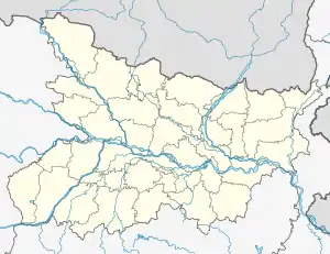 Trilokwa Location of Trilokwa on the map of Bihar 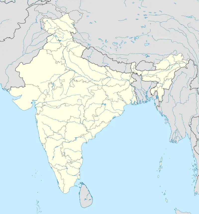 Trilokwa Trilokwa (India) | |
| Coordinates: 26°21′28.99″N 84°53′58.86″E / 26.3580528°N 84.8996833°E | |
| Country | India |
| State | Bihar |
| District | East Champaran |
| Government | |
| • Type | Panchayati Raj |
| • Body | Gram Panchayat |
| Population (2011) | |
| • Total | 5,500 |
| Languages | |
| • Official | Bhojpuri, Urdu, Hindi, English, |
| Time zone | UTC+5:30 (IST) |
| PIN | 845432 |
| Vehicle registration | BR |
| Website | www |
Trilokwa is a village located in East Champaran district in the state of Bihar, India.[1] Trilokwa is considered India's Biggest village. The village is located 5 km from Kesariya, 8 km From Kesaria Stupa, about 100 km from the state capital Patna, and 200 km from Valmiki National Park, a tiger reserve.
The village follows the Panchayati raj system.[2][3][4]
References
- ↑ Bharat Yagnik (20 May 2012). "Bihar village that puts metros to shame". The Times of India.
- ↑ Paras Jha (7 November 2011). "Gujarat's Punsari panchayat is villagers' pride, neighbours' envy". DNA: Daily News and Analysis.
- ↑ "Why Punsri is selected as the best village panchayat in Gujarat?". DeshGujarat. 7 November 2011.
- ↑ "Kenya keen to replicate Punsari model". The Times of India. 24 May 2012.
This article is issued from Wikipedia. The text is licensed under Creative Commons - Attribution - Sharealike. Additional terms may apply for the media files.