Tsakir
Цакир | |
|---|---|
Selo | |
.svg.png.webp) Tsakir 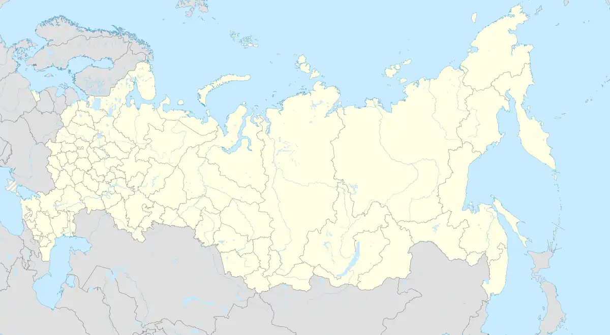 Tsakir | |
| Coordinates: 50°26′N 103°35′E / 50.433°N 103.583°E[1] | |
| Country | Russia |
| Region | Republic of Buryatia |
| District | Zakamensky District |
| Time zone | UTC+8:00 |
Tsakir (Russian: Цакир; Buryat: Сахир, Sakhir) is a rural locality (a selo) in Zakamensky District, Republic of Buryatia, Russia. The population was 846 as of 2010.[2] There are 17 streets.
Geography
Tsakir is located 27 km northeast of Zakamensk (the district's administrative centre) by road. Ekhe-Tsakir is the nearest rural locality.[3]
Climate
| Climate data for Tsakir (extremes 1936-present) | |||||||||||||
|---|---|---|---|---|---|---|---|---|---|---|---|---|---|
| Month | Jan | Feb | Mar | Apr | May | Jun | Jul | Aug | Sep | Oct | Nov | Dec | Year |
| Record high °C (°F) | 3.8 (38.8) |
9.8 (49.6) |
21.2 (70.2) |
29.7 (85.5) |
33.8 (92.8) |
36.2 (97.2) |
38.9 (102.0) |
35.3 (95.5) |
31.5 (88.7) |
26.0 (78.8) |
13.8 (56.8) |
2.9 (37.2) |
38.9 (102.0) |
| Mean daily maximum °C (°F) | −14.9 (5.2) |
−6.7 (19.9) |
3.0 (37.4) |
12.1 (53.8) |
19.0 (66.2) |
23.8 (74.8) |
24.9 (76.8) |
22.7 (72.9) |
17.1 (62.8) |
8.6 (47.5) |
−4.5 (23.9) |
−14.4 (6.1) |
7.6 (45.6) |
| Daily mean °C (°F) | −25.2 (−13.4) |
−19.2 (−2.6) |
−8.1 (17.4) |
2.2 (36.0) |
8.8 (47.8) |
14.5 (58.1) |
16.6 (61.9) |
14.2 (57.6) |
7.3 (45.1) |
−1.7 (28.9) |
−14.0 (6.8) |
−23.3 (−9.9) |
−2.3 (27.8) |
| Mean daily minimum °C (°F) | −32.4 (−26.3) |
−28.8 (−19.8) |
−17.6 (0.3) |
−6.6 (20.1) |
−0.9 (30.4) |
6.2 (43.2) |
9.9 (49.8) |
8.4 (47.1) |
0.3 (32.5) |
−8.8 (16.2) |
−20.9 (−5.6) |
−29.6 (−21.3) |
−10.1 (13.9) |
| Record low °C (°F) | −48.9 (−56.0) |
−46.2 (−51.2) |
−43.1 (−45.6) |
−26.5 (−15.7) |
−20.0 (−4.0) |
−10.5 (13.1) |
−6.9 (19.6) |
−5.3 (22.5) |
−13.8 (7.2) |
−32.2 (−26.0) |
−42.4 (−44.3) |
−48.4 (−55.1) |
−48.9 (−56.0) |
| Average precipitation mm (inches) | 2.3 (0.09) |
2.6 (0.10) |
5.1 (0.20) |
13.1 (0.52) |
27.0 (1.06) |
74.9 (2.95) |
122.9 (4.84) |
107.7 (4.24) |
39.7 (1.56) |
10.4 (0.41) |
6.5 (0.26) |
4.5 (0.18) |
416.7 (16.41) |
| Source: pogoda.ru.net[4] | |||||||||||||
References
- ↑ Карта Закаменского района Бурятии
- ↑ Всероссийские переписи населения 2002 и 2010 годов
- ↑ Расстояние от Цакира до Закаменска
- ↑ "Климат Цакира" (in Russian). Retrieved January 1, 2023.
This article is issued from Wikipedia. The text is licensed under Creative Commons - Attribution - Sharealike. Additional terms may apply for the media files.