Tshitale | |
|---|---|
 Tshitale 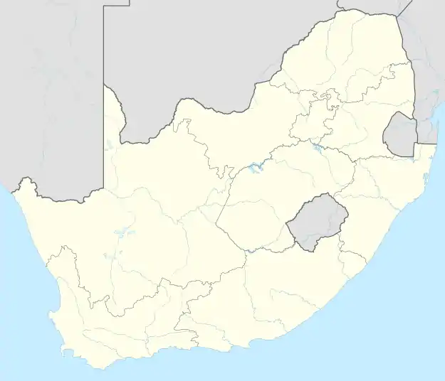 Tshitale | |
| Coordinates: 23°21′07″S 29°59′35″E / 23.352°S 29.993°E | |
| Country | South Africa |
| Province | Limpopo |
| District | Vhembe |
| Municipality | Makhado |
| Area | |
| • Total | 1.70 km2 (0.66 sq mi) |
| Population (2011)[1] | |
| • Total | 1,111 |
| • Density | 650/km2 (1,700/sq mi) |
| Racial makeup (2011) | |
| • Black African | 98.9% |
| • Indian/Asian | 0.7% |
| • Other | 0.4% |
| First languages (2011) | |
| • Venda | 65.9% |
| • Sotho | 15.4% |
| • Northern Sotho | 10.0% |
| • Tsonga | 5.7% |
| • Other | 3.0% |
| Time zone | UTC+2 (SAST) |
Tshitale is a town in Vhembe District Municipality in the Limpopo province of South Africa.
References
- 1 2 3 4 "Main Place Tshitale". Census 2011.
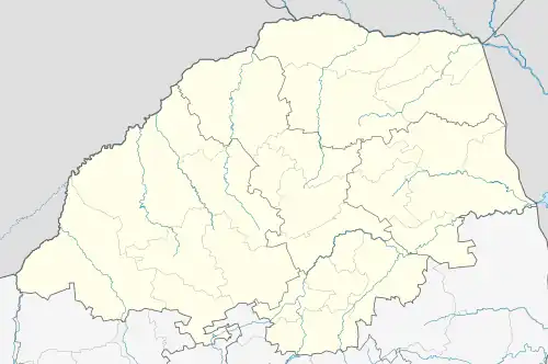
Municipalities and communities of Vhembe District Municipality, Limpopo | ||
|---|---|---|
District seat: Thohoyandou | ||
| Musina |
| .svg.png.webp) Vhembe District within South Africa |
| Collins Chabane | Dzimauli • Spelonken (Hlanganani) • Malamulele • Mapakoni • Mutale • Mutshikilini • Thengwe • Tshilamba | |
| Thulamela | ||
| Makhado | ||
This article is issued from Wikipedia. The text is licensed under Creative Commons - Attribution - Sharealike. Additional terms may apply for the media files.