Umpferstedt | |
|---|---|
 Coat of arms | |
Location of Umpferstedt within Weimarer Land district 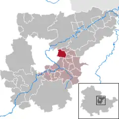 | |
 Umpferstedt 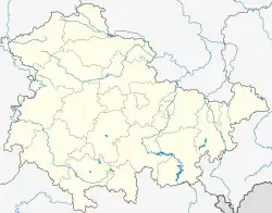 Umpferstedt | |
| Coordinates: 50°58′37″N 11°24′46″E / 50.97694°N 11.41278°E | |
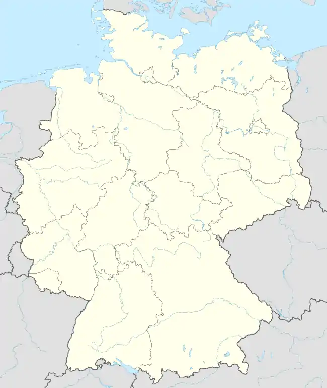
| Country | Germany |
| State | Thuringia |
| District | Weimarer Land |
| Municipal assoc. | Mellingen |
| Government | |
| • Mayor (2022–28) | Thomas Stabrey[1] |
| Area | |
| • Total | 7.39 km2 (2.85 sq mi) |
| Elevation | 270 m (890 ft) |
| Population (2022-12-31)[2] | |
| • Total | 638 |
| • Density | 86/km2 (220/sq mi) |
| Time zone | UTC+01:00 (CET) |
| • Summer (DST) | UTC+02:00 (CEST) |
| Postal codes | 99441 |
| Dialling codes | 03643 |
| Vehicle registration | AP |
| Website | www.umpferstedt.de |
Umpferstedt is a municipality in the Weimarer Land district of Thuringia, Germany.
References
- ↑ Gewählte Bürgermeister - aktuelle Landesübersicht, Freistaat Thüringen, accessed 10 November 2022.
- ↑ "Bevölkerung der Gemeinden, erfüllenden Gemeinden und Verwaltungsgemeinschaften in Thüringen Gebietsstand: 31.12.2022" (in German). Thüringer Landesamt für Statistik. June 2023.
This article is issued from Wikipedia. The text is licensed under Creative Commons - Attribution - Sharealike. Additional terms may apply for the media files.