Unterliederbach | |
|---|---|
 Coat of arms | |
Location of Unterliederbach (red) and the Ortsbezirk West (light red) within Frankfurt am Main 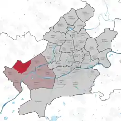 | |
 Unterliederbach 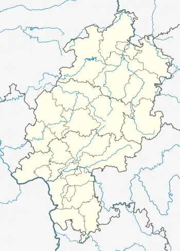 Unterliederbach | |
| Coordinates: 50°06′39″N 08°31′53″E / 50.11083°N 8.53139°E | |
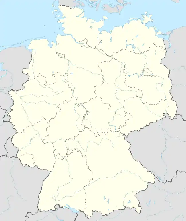
| Country | Germany |
| State | Hesse |
| Admin. region | Darmstadt |
| District | Urban district |
| City | Frankfurt am Main |
| Area | |
| • Total | 5.877 km2 (2.269 sq mi) |
| Population (2020-12-31)[1] | |
| • Total | 17,151 |
| • Density | 2,900/km2 (7,600/sq mi) |
| Time zone | UTC+01:00 (CET) |
| • Summer (DST) | UTC+02:00 (CEST) |
| Postal codes | 65929 |
| Dialling codes | 069 |
| Vehicle registration | F |
| Website | www.unterliederbach.de |
Unterliederbach is a quarter of Frankfurt am Main, Germany. It is part of the Ortsbezirk West and is subdivided into the Stadtbezirke Unterliederbach-Ost, Unterliederbach-Mitte and Unterliederbach-West.
References
- ↑ "Frankfurt Statsitik Aktuell 07/2021". Stadt Frankfurt am Main. July 2021.
Wikimedia Commons has media related to Unterliederbach (Frankfurt am Main).

This article is issued from Wikipedia. The text is licensed under Creative Commons - Attribution - Sharealike. Additional terms may apply for the media files.