| Vère | |
|---|---|
 | |
  | |
| Location | |
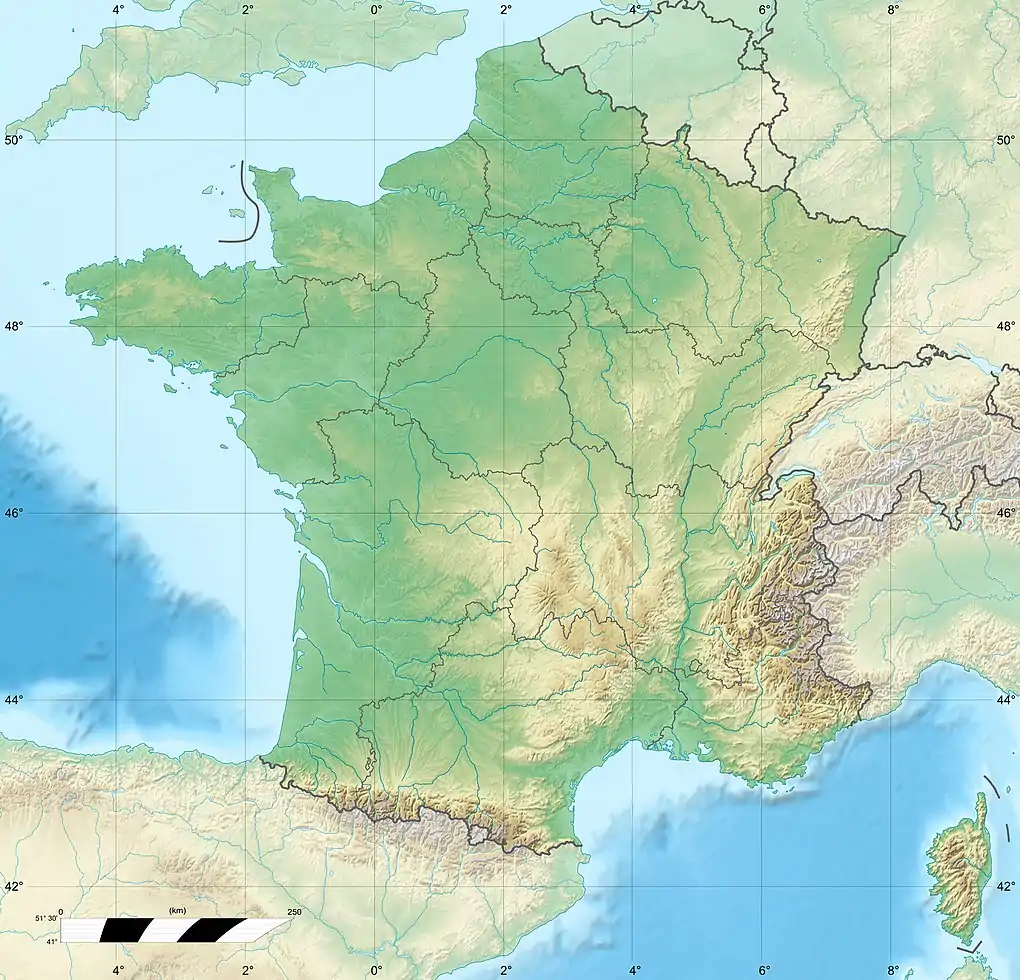
| Country | France |
| Physical characteristics | |
| Source | |
| • location | Taïx |
| • coordinates | 44°00′19″N 02°08′05″E / 44.00528°N 2.13472°E |
| • elevation | 305 m (1,001 ft) |
| Mouth | |
• location | Aveyron |
• coordinates | 44°03′23″N 01°40′09″E / 44.05639°N 1.66917°E |
• elevation | 95 m (312 ft) |
| Length | 53.2 km (33.1 mi) |
| Basin size | 311 km2 (120 sq mi) |
| Discharge | |
| • average | 2.15 m3/s (76 cu ft/s) |
| Basin features | |
| Progression | Aveyron→ Tarn→ Garonne→ Gironde estuary→ Atlantic Ocean |
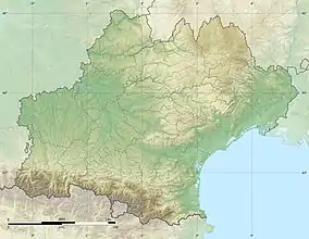
The Vère (French pronunciation: [vɛʁ]; Occitan: Vera) is a 53.2-kilometre-long (33.1 mi) river in the Tarn and Tarn-et-Garonne departments in southern France.[1] Its source is at Taïx. It flows generally west-northwest. It is a left tributary of the Aveyron, into which it flows at Bruniquel.
Departments and communes along its course
This list is ordered from source to mouth:
- Tarn: Taïx, Cagnac-les-Mines, Mailhoc, Villeneuve-sur-Vère, Noailles, Cestayrols, Cahuzac-sur-Vère, Vieux, Le Verdier, Castelnau-de-Montmiral, Sainte-Cécile-du-Cayrou, Puycelci, Larroque
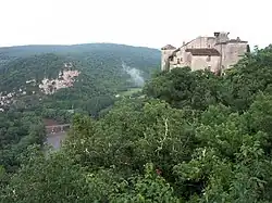
- Tarn-et-Garonne: Bruniquel
References
This article is issued from Wikipedia. The text is licensed under Creative Commons - Attribution - Sharealike. Additional terms may apply for the media files.