Vajont
| |
|---|---|
| Comune di Vajont | |
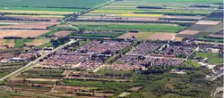 Panoramic view | |
 Coat of arms | |
Location of Vajont | |
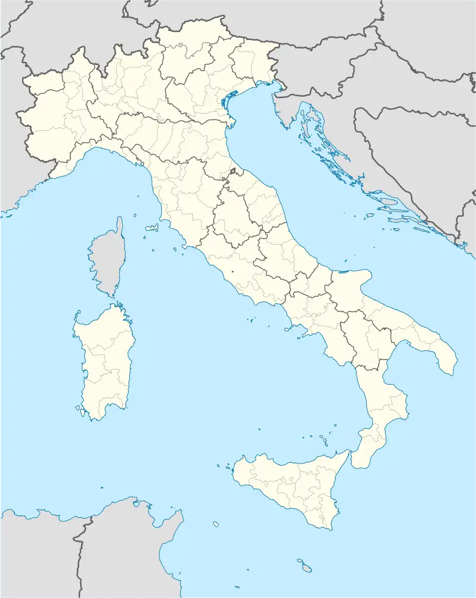 Vajont Location of Vajont in Italy 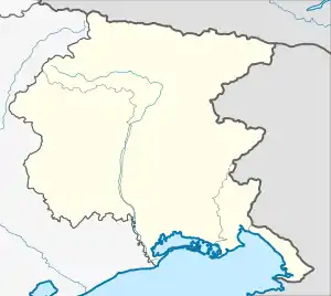 Vajont Vajont (Friuli-Venezia Giulia) | |
| Coordinates: 46°8′N 12°41′E / 46.133°N 12.683°E | |
| Country | Italy |
| Region | Friuli Venezia Giulia |
| Province | Pordenone (PN) |
| Government | |
| • Mayor | Felice Manarin |
| Area | |
| • Total | 1.58 km2 (0.61 sq mi) |
| Elevation | 287 m (942 ft) |
| Population (30 April 2009)[2] | |
| • Total | 1,741 |
| • Density | 1,100/km2 (2,900/sq mi) |
| Demonym | Vajontini |
| Time zone | UTC+1 (CET) |
| • Summer (DST) | UTC+2 (CEST) |
| Postal code | 33080 |
| Dialing code | 0427 |
| Patron saint | Jesus Crucifixed |
| Saint day | 14 September |
Vajont (Western Friulian: Vaiònt) is both a river and the name of a valley and comune (municipality) in the Regional decentralization entity of Pordenone, Friuli Venezia Giulia, north-eastern Italy.
History
The municipality was founded in 1971 on the municipal territory of Maniago. It was built to rehome the people evacuated from Erto e Casso after the Vajont Dam disaster of 1963.
Languages
In addition to the Italian language, the Friulian dialects Ertano and Cassano, originating from Erto e Casso, are spoken in the territory.
External links
![]() Media related to Vajont at Wikimedia Commons
Media related to Vajont at Wikimedia Commons
- ↑ "Superficie di Comuni Province e Regioni italiane al 9 ottobre 2011". Italian National Institute of Statistics. Retrieved 16 March 2019.
- ↑ "Popolazione Residente al 1° Gennaio 2018". Italian National Institute of Statistics. Retrieved 16 March 2019.
This article is issued from Wikipedia. The text is licensed under Creative Commons - Attribution - Sharealike. Additional terms may apply for the media files.