Verdun-en-Lauragais | |
|---|---|
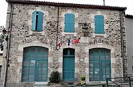 The town hall in Verdun-en-Lauragais | |
.svg.png.webp) Coat of arms | |
Location of Verdun-en-Lauragais | |
 Verdun-en-Lauragais 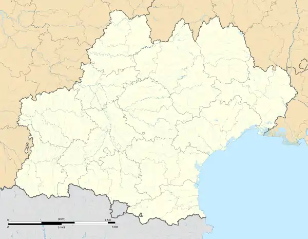 Verdun-en-Lauragais | |
| Coordinates: 43°21′59″N 2°03′36″E / 43.3664°N 2.06°E | |
| Country | France |
| Region | Occitania |
| Department | Aude |
| Arrondissement | Carcassonne |
| Canton | La Malepère à la Montagne Noire |
| Intercommunality | Castelnaudary Lauragais Audois |
| Government | |
| • Mayor (2020–2026) | Monique Vidal[1] |
| Area 1 | 20.21 km2 (7.80 sq mi) |
| Population | 287 |
| • Density | 14/km2 (37/sq mi) |
| Time zone | UTC+01:00 (CET) |
| • Summer (DST) | UTC+02:00 (CEST) |
| INSEE/Postal code | 11407 /11400 |
| Elevation | 198–613 m (650–2,011 ft) (avg. 333 m or 1,093 ft) |
| 1 French Land Register data, which excludes lakes, ponds, glaciers > 1 km2 (0.386 sq mi or 247 acres) and river estuaries. | |
Verdun-en-Lauragais is a commune in the Aude department in southern France.
Population
| Year | Pop. | ±% p.a. |
|---|---|---|
| 1968 | 233 | — |
| 1975 | 219 | −0.88% |
| 1982 | 216 | −0.20% |
| 1990 | 212 | −0.23% |
| 1999 | 231 | +0.96% |
| 2009 | 251 | +0.83% |
| 2014 | 281 | +2.28% |
| 2020 | 286 | +0.29% |
| Source: INSEE[3] | ||
See also
References
- ↑ "Répertoire national des élus: les maires". data.gouv.fr, Plateforme ouverte des données publiques françaises (in French). 9 August 2021.
- ↑ "Populations légales 2021". The National Institute of Statistics and Economic Studies. 28 December 2023.
- ↑ Population en historique depuis 1968, INSEE
Wikimedia Commons has media related to Verdun-en-Lauragais.
This article is issued from Wikipedia. The text is licensed under Creative Commons - Attribution - Sharealike. Additional terms may apply for the media files.