Villiers-le-Morhier | |
|---|---|
 The town hall in Villiers-le-Morhier | |
.svg.png.webp) Coat of arms | |
Location of Villiers-le-Morhier | |
 Villiers-le-Morhier 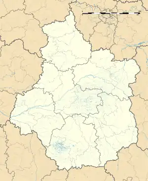 Villiers-le-Morhier | |
| Coordinates: 48°37′18″N 1°33′47″E / 48.6217°N 1.5631°E | |
| Country | France |
| Region | Centre-Val de Loire |
| Department | Eure-et-Loir |
| Arrondissement | Dreux |
| Canton | Épernon |
| Government | |
| • Mayor (2020–2026) | Philippe Auffray[1] |
| Area 1 | 10.39 km2 (4.01 sq mi) |
| Population | 1,363 |
| • Density | 130/km2 (340/sq mi) |
| Time zone | UTC+01:00 (CET) |
| • Summer (DST) | UTC+02:00 (CEST) |
| INSEE/Postal code | 28417 /28130 |
| Elevation | 92–150 m (302–492 ft) (avg. 108 m or 354 ft) |
| 1 French Land Register data, which excludes lakes, ponds, glaciers > 1 km2 (0.386 sq mi or 247 acres) and river estuaries. | |
Villiers-le-Morhier (French pronunciation: [vilje lə mɔʁje]) is a commune in the Eure-et-Loir department in northern France.
Population
| Year | Pop. | ±% |
|---|---|---|
| 1962 | 418 | — |
| 1968 | 539 | +28.9% |
| 1975 | 592 | +9.8% |
| 1982 | 878 | +48.3% |
| 1990 | 1,077 | +22.7% |
| 1999 | 1,227 | +13.9% |
| 2008 | 1,347 | +9.8% |
See also
References
- ↑ "Répertoire national des élus: les maires" (in French). data.gouv.fr, Plateforme ouverte des données publiques françaises. 13 September 2022.
- ↑ "Populations légales 2021". The National Institute of Statistics and Economic Studies. 28 December 2023.
Wikimedia Commons has media related to Villiers-le-Morhier.
This article is issued from Wikipedia. The text is licensed under Creative Commons - Attribution - Sharealike. Additional terms may apply for the media files.