| Wheatacre | |
|---|---|
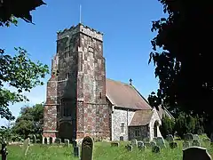 All Saints Church, Wheatacre | |
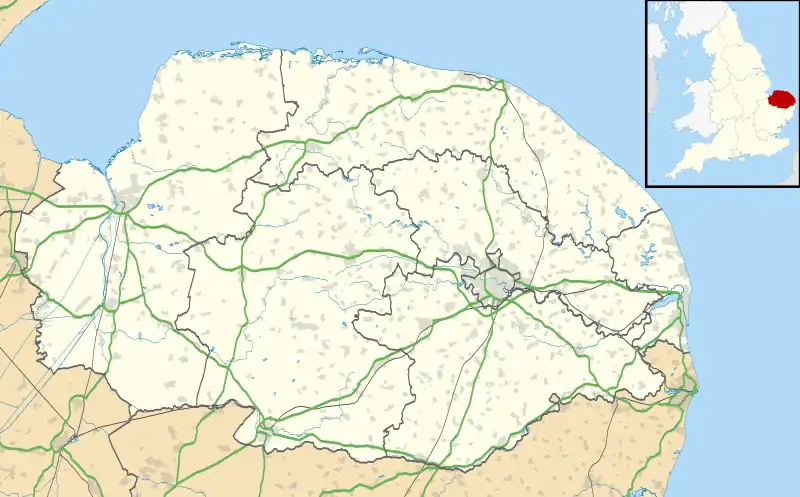 Wheatacre Location within Norfolk | |
| Area | 4.38 km2 (1.69 sq mi) |
| Population | 118 (2011) |
| • Density | 27/km2 (70/sq mi) |
| OS grid reference | TM461938 |
| Civil parish |
|
| District | |
| Shire county | |
| Region | |
| Country | England |
| Sovereign state | United Kingdom |
| Post town | BECCLES |
| Postcode district | NR34 |
| Police | Norfolk |
| Fire | Norfolk |
| Ambulance | East of England |
Wheatacre is a civil parish in the English county of Norfolk. It covers an area of 4.38 km2 (1.69 sq mi) and had a population of 112 in 43 households at the 2001 census,[1] increasing to 118 at the 2011 Census.[2] For the purposes of local government, it falls within the district of South Norfolk
See also
Notes
- ↑ "Wheatacre parish information". South Norfolk Council. 16 May 2007. Retrieved 20 June 2009.
- ↑ "Parish population 2011". Retrieved 10 September 2015.
- ↑ "Key to English Place-names".
External links
![]() Media related to Wheatacre at Wikimedia Commons
Media related to Wheatacre at Wikimedia Commons
This article is issued from Wikipedia. The text is licensed under Creative Commons - Attribution - Sharealike. Additional terms may apply for the media files.