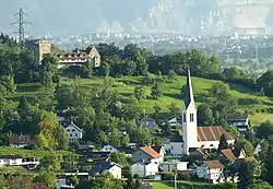
Wolfurt | |
|---|---|
 | |
 Coat of arms | |
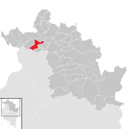 Location in the district | |
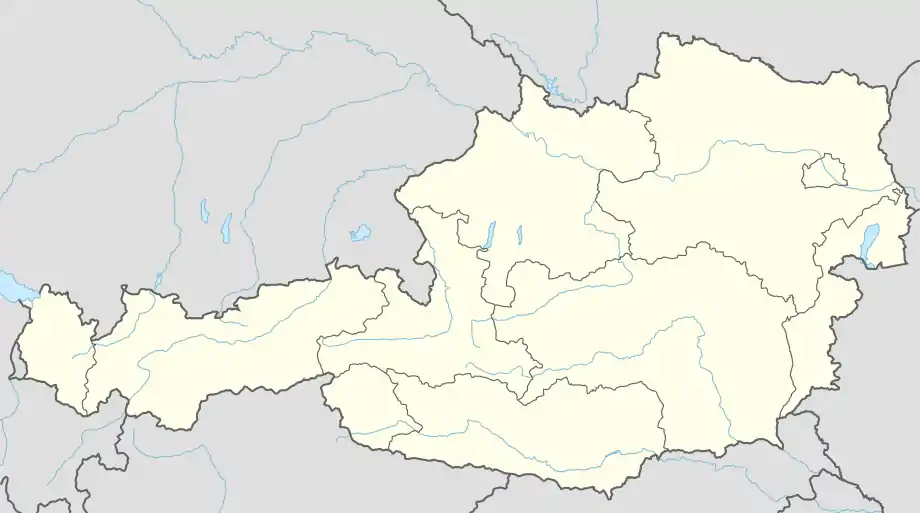 Wolfurt Location within Austria | |
| Coordinates: 47°28′23.08″N 09°45′14.11″E / 47.4730778°N 9.7539194°E | |
| Country | Austria |
| State | Vorarlberg |
| District | Bregenz |
| Government | |
| • Mayor | Christian Natter (ÖVP) |
| Area | |
| • Total | 10 km2 (4 sq mi) |
| Elevation | 434 m (1,424 ft) |
| Population (2018-01-01)[2] | |
| • Total | 8,446 |
| • Density | 840/km2 (2,200/sq mi) |
| Time zone | UTC+1 (CET) |
| • Summer (DST) | UTC+2 (CEST) |
| Postal code | 6922, 6960 (Wolfurt-Bahnhof) |
| Area code | 05574 |
| Vehicle registration | B |
| Website | www.wolfurt.at |
Wolfurt is a municipality in the western Austrian state of Vorarlberg.
Population
| Year | Pop. | ±% |
|---|---|---|
| 1869 | 1,648 | — |
| 1880 | 1,623 | −1.5% |
| 1890 | 1,892 | +16.6% |
| 1900 | 2,070 | +9.4% |
| 1910 | 2,265 | +9.4% |
| 1923 | 1,798 | −20.6% |
| 1934 | 2,086 | +16.0% |
| 1939 | 2,179 | +4.5% |
| 1951 | 2,522 | +15.7% |
| 1961 | 3,391 | +34.5% |
| 1971 | 5,740 | +69.3% |
| 1981 | 6,589 | +14.8% |
| 1991 | 7,289 | +10.6% |
| 2001 | 7,849 | +7.7% |
| 2011 | 8,095 | +3.1% |
| 2016 | 8,331 | +2.9% |
References
- ↑ "Dauersiedlungsraum der Gemeinden Politischen Bezirke und Bundesländer - Gebietsstand 1.1.2018". Statistics Austria. Retrieved 10 March 2019.
- ↑ "Einwohnerzahl 1.1.2018 nach Gemeinden mit Status, Gebietsstand 1.1.2018". Statistics Austria. Retrieved 9 March 2019.
External links
Wikimedia Commons has media related to Wolfurt.
This article is issued from Wikipedia. The text is licensed under Creative Commons - Attribution - Sharealike. Additional terms may apply for the media files.