| Yanajaja | |
|---|---|
 Yanajaja Peru | |
| Highest point | |
| Elevation | 5,500 m (18,000 ft)[1] |
| Coordinates | 13°47′16″S 71°11′02″W / 13.78778°S 71.18389°W |
| Geography | |
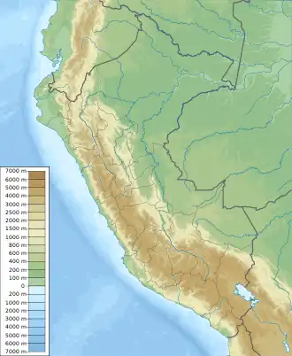
| Location | Peru, Cusco |
| Parent range | Andes, Vilcanota |
Yanajaja (possibly from Quechua yana black, qaqa, rock)[2] is a mountain in the Vilcanota mountain range in the Andes of Peru, about 5,550 m (18,210 ft) high. It is situated in the Cusco Region, Canchis Province, Pitumarca District and in the Quispicanchi Province, Ocongate District.[1] Yanajaja lies south of the peak of Q'ampa, southwest of Callangate, west of the river Chillcamayu, and east of Ausangate, close to Chilinita (Santa Catalina).
See also
References
- 1 2 escale.minedu.gob.pe - UGEL maps of the Quispicanchi Province 1 (Cusco Region)
- ↑ Teofilo Laime Ajacopa (2007). Diccionario Bilingüe: Iskay simipi yuyayk’anch: Quechua – Castellano / Castellano – Quechua (PDF). La Paz, Bolivia: futatraw.ourproject.org.
This article is issued from Wikipedia. The text is licensed under Creative Commons - Attribution - Sharealike. Additional terms may apply for the media files.