Zwaagdijk-West | |
|---|---|
Village | |
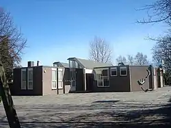 School | |
 Flag | |
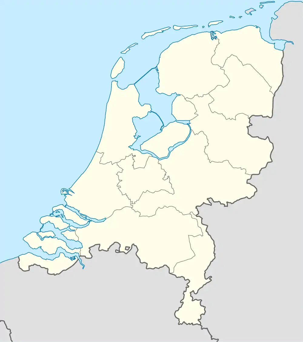 Zwaagdijk-West Location in the Netherlands 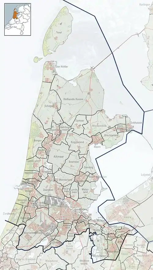 Zwaagdijk-West Location in the province of North Holland in the Netherlands | |
| Coordinates: 52°40′33″N 5°3′33″E / 52.67583°N 5.05917°E | |
| Country | Netherlands |
| Province | North Holland |
| Municipality | Medemblik |
| Area | |
| • Total | 1.52 km2 (0.59 sq mi) |
| Elevation | −1.5 m (−4.9 ft) |
| Population (2021)[1] | |
| • Total | 585 |
| • Density | 380/km2 (1,000/sq mi) |
| Time zone | UTC+1 (CET) |
| • Summer (DST) | UTC+2 (CEST) |
| Postal code | 1685[1] |
| Dialing code | 0228 |
Zwaagdijk-West (Dutch pronunciation: [ˈzʋaːɣdɛik ˈʋɛst]) is a village in the Dutch province of North Holland. It is a part of the municipality of Medemblik, and lies about 3 km north of Hoorn.
The village was first mentioned in 1319 as buten den Zuoechdyc, and means "the dike belonging to Zwaag. Zwaagdijk-Oost is the settlement on the eastern side of the dike, Zwaagdijk-West is on the western side.[3] In 1929, the Catholic Jacobus de Meerdere Church was built in Zwaagdijk-West.[4]
References
- 1 2 3 "Kerncijfers wijken en buurten 2021". Central Bureau of Statistics. Retrieved 1 May 2022.
- ↑ "Postcodetool for 1685PB". Actueel Hoogtebestand Nederland (in Dutch). Het Waterschapshuis. Retrieved 1 May 2022.
- ↑ "Zwaagdijk - (geografische naam)". Etymologiebank (in Dutch). Retrieved 1 May 2022.
- ↑ "Zwaagdijk-West". Plaatsengids (in Dutch). Retrieved 1 May 2022.
This article is issued from Wikipedia. The text is licensed under Creative Commons - Attribution - Sharealike. Additional terms may apply for the media files.