Branges | |
|---|---|
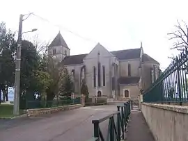 The church in Branges | |
.svg.png.webp) Coat of arms | |
Location of Branges | |
 Branges 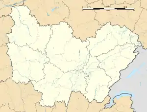 Branges | |
| Coordinates: 46°38′45″N 5°10′31″E / 46.6458°N 5.1753°E | |
| Country | France |
| Region | Bourgogne-Franche-Comté |
| Department | Saône-et-Loire |
| Arrondissement | Louhans |
| Canton | Louhans |
| Government | |
| • Mayor (2020–2026) | Anthony Vadot[1] |
| Area 1 | 24.59 km2 (9.49 sq mi) |
| Population | 2,367 |
| • Density | 96/km2 (250/sq mi) |
| Time zone | UTC+01:00 (CET) |
| • Summer (DST) | UTC+02:00 (CEST) |
| INSEE/Postal code | 71056 /71500 |
| Elevation | 173–209 m (568–686 ft) (avg. 187 m or 614 ft) |
| 1 French Land Register data, which excludes lakes, ponds, glaciers > 1 km2 (0.386 sq mi or 247 acres) and river estuaries. | |
Branges (French pronunciation: [bʁɑ̃ʒ]) is a commune in the Saône-et-Loire department in the region of Bourgogne-Franche-Comté in eastern France.
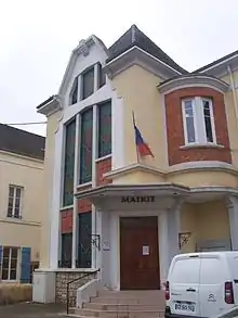
Town hall
Population
| Year | Pop. | ±% p.a. |
|---|---|---|
| 1968 | 2,300 | — |
| 1975 | 2,338 | +0.23% |
| 1982 | 2,312 | −0.16% |
| 1990 | 2,155 | −0.88% |
| 1999 | 2,087 | −0.36% |
| 2007 | 2,319 | +1.33% |
| 2012 | 2,398 | +0.67% |
| 2017 | 2,357 | −0.34% |
| Source: INSEE[3] | ||
See also
References
- ↑ "Répertoire national des élus: les maires" (in French). data.gouv.fr, Plateforme ouverte des données publiques françaises. 13 September 2022.
- ↑ "Populations légales 2021". The National Institute of Statistics and Economic Studies. 28 December 2023.
- ↑ Population en historique depuis 1968, INSEE
Wikimedia Commons has media related to Branges.
This article is issued from Wikipedia. The text is licensed under Creative Commons - Attribution - Sharealike. Additional terms may apply for the media files.