Les Bizots | |
|---|---|
Commune | |
 | |
Location of Les Bizots | |
 Les Bizots 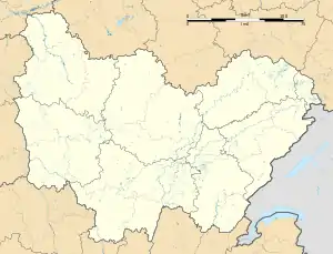 Les Bizots | |
| Coordinates: 46°45′08″N 4°23′28″E / 46.7522°N 4.3911°E | |
| Country | France |
| Region | Bourgogne-Franche-Comté |
| Department | Saône-et-Loire |
| Arrondissement | Autun |
| Canton | Blanzy |
| Intercommunality | CU Creusot Montceau |
| Area 1 | 21.69 km2 (8.37 sq mi) |
| Population | 472 |
| • Density | 22/km2 (56/sq mi) |
| Time zone | UTC+01:00 (CET) |
| • Summer (DST) | UTC+02:00 (CEST) |
| INSEE/Postal code | 71038 /71710 |
| Elevation | 289–421 m (948–1,381 ft) (avg. 337 m or 1,106 ft) |
| 1 French Land Register data, which excludes lakes, ponds, glaciers > 1 km2 (0.386 sq mi or 247 acres) and river estuaries. | |
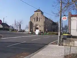
Les Bizots (French pronunciation: [le bizo]) is a commune in the Saône-et-Loire department in the region of Bourgogne-Franche-Comté in eastern France.
Geography
The Bourbince forms part of the commune's southeastern border.
Population
| Year | Pop. | ±% p.a. |
|---|---|---|
| 1968 | 286 | — |
| 1975 | 233 | −2.89% |
| 1982 | 369 | +6.79% |
| 1990 | 472 | +3.13% |
| 1999 | 435 | −0.90% |
| 2009 | 437 | +0.05% |
| 2014 | 466 | +1.29% |
| 2020 | 469 | +0.11% |
| Source: INSEE[2] | ||
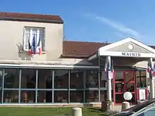
Town hall
See also
References
Wikimedia Commons has media related to Les Bizots.
This article is issued from Wikipedia. The text is licensed under Creative Commons - Attribution - Sharealike. Additional terms may apply for the media files.