Cadaujac | |
|---|---|
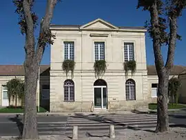 Town hall | |
.svg.png.webp) Coat of arms | |
Location of Cadaujac | |
 Cadaujac 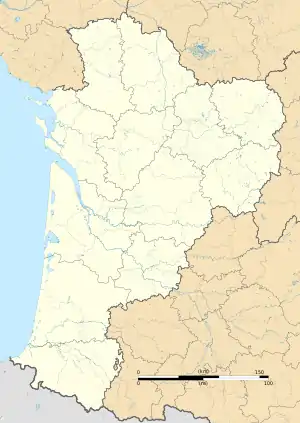 Cadaujac | |
| Coordinates: 44°45′23″N 0°31′44″W / 44.7564°N 0.5289°W | |
| Country | France |
| Region | Nouvelle-Aquitaine |
| Department | Gironde |
| Arrondissement | Bordeaux |
| Canton | La Brède |
| Intercommunality | Montesquieu |
| Government | |
| • Mayor (2020–2026) | Francis Gazeau[1] |
| Area 1 | 15.33 km2 (5.92 sq mi) |
| Population | 6,671 |
| • Density | 440/km2 (1,100/sq mi) |
| Time zone | UTC+01:00 (CET) |
| • Summer (DST) | UTC+02:00 (CEST) |
| INSEE/Postal code | 33080 /33140 |
| Elevation | 3–36 m (9.8–118.1 ft) (avg. 11 m or 36 ft) |
| 1 French Land Register data, which excludes lakes, ponds, glaciers > 1 km2 (0.386 sq mi or 247 acres) and river estuaries. | |
Cadaujac (French pronunciation: [kadoʒak]) is a commune in the Gironde department in Nouvelle-Aquitaine in southwestern France. Cadaujac station has rail connections to Langon and Bordeaux.
Population
| Year | Pop. | ±% p.a. |
|---|---|---|
| 1968 | 2,152 | — |
| 1975 | 2,537 | +2.38% |
| 1982 | 2,823 | +1.54% |
| 1990 | 4,137 | +4.89% |
| 1999 | 4,408 | +0.71% |
| 2007 | 4,716 | +0.85% |
| 2012 | 5,429 | +2.86% |
| 2017 | 6,097 | +2.35% |
| Source: INSEE[3] | ||
International relations
Twinned with Tramore, County Waterford, Ireland
See also
References
- ↑ "Répertoire national des élus: les maires". data.gouv.fr, Plateforme ouverte des données publiques françaises (in French). 2 December 2020.
- ↑ "Populations légales 2021". The National Institute of Statistics and Economic Studies. 28 December 2023.
- ↑ Population en historique depuis 1968, INSEE
Wikimedia Commons has media related to Cadaujac.
This article is issued from Wikipedia. The text is licensed under Creative Commons - Attribution - Sharealike. Additional terms may apply for the media files.