La Lande-de-Fronsac | |
|---|---|
 The town hall in La Lande-de-Fronsac | |
Location of La Lande-de-Fronsac | |
 La Lande-de-Fronsac 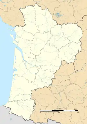 La Lande-de-Fronsac | |
| Coordinates: 44°58′50″N 0°22′48″W / 44.9806°N 0.38°W | |
| Country | France |
| Region | Nouvelle-Aquitaine |
| Department | Gironde |
| Arrondissement | Libourne |
| Canton | Le Libournais-Fronsadais |
| Intercommunality | Fronsadais |
| Government | |
| • Mayor (2020–2026) | Jean Galand[1] |
| Area 1 | 8.53 km2 (3.29 sq mi) |
| Population | 2,659 |
| • Density | 310/km2 (810/sq mi) |
| Time zone | UTC+01:00 (CET) |
| • Summer (DST) | UTC+02:00 (CEST) |
| INSEE/Postal code | 33219 /33240 |
| Elevation | 6–49 m (20–161 ft) (avg. 42 m or 138 ft) |
| 1 French Land Register data, which excludes lakes, ponds, glaciers > 1 km2 (0.386 sq mi or 247 acres) and river estuaries. | |
La Lande-de-Fronsac (French pronunciation: [la lɑ̃d də fʁɔ̃sak]; Occitan: La Landa de Fronsac) is a commune in the Gironde department in Nouvelle-Aquitaine in southwestern France.
Population
| Year | Pop. | ±% p.a. |
|---|---|---|
| 1968 | 512 | — |
| 1975 | 624 | +2.87% |
| 1982 | 1,147 | +9.09% |
| 1990 | 1,797 | +5.77% |
| 1999 | 1,871 | +0.45% |
| 2007 | 2,150 | +1.75% |
| 2012 | 2,373 | +1.99% |
| 2017 | 2,412 | +0.33% |
| Source: INSEE[3] | ||
See also
References
- ↑ "Répertoire national des élus: les maires". data.gouv.fr, Plateforme ouverte des données publiques françaises (in French). 2 December 2020.
- ↑ "Populations légales 2021". The National Institute of Statistics and Economic Studies. 28 December 2023.
- ↑ Population en historique depuis 1968, INSEE
Wikimedia Commons has media related to La Lande-de-Fronsac.
This article is issued from Wikipedia. The text is licensed under Creative Commons - Attribution - Sharealike. Additional terms may apply for the media files.