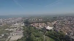
Campomarino
Këmarini | |
|---|---|
| Comune di Campomarino | |
 | |
 Coat of arms | |
Location of Campomarino | |
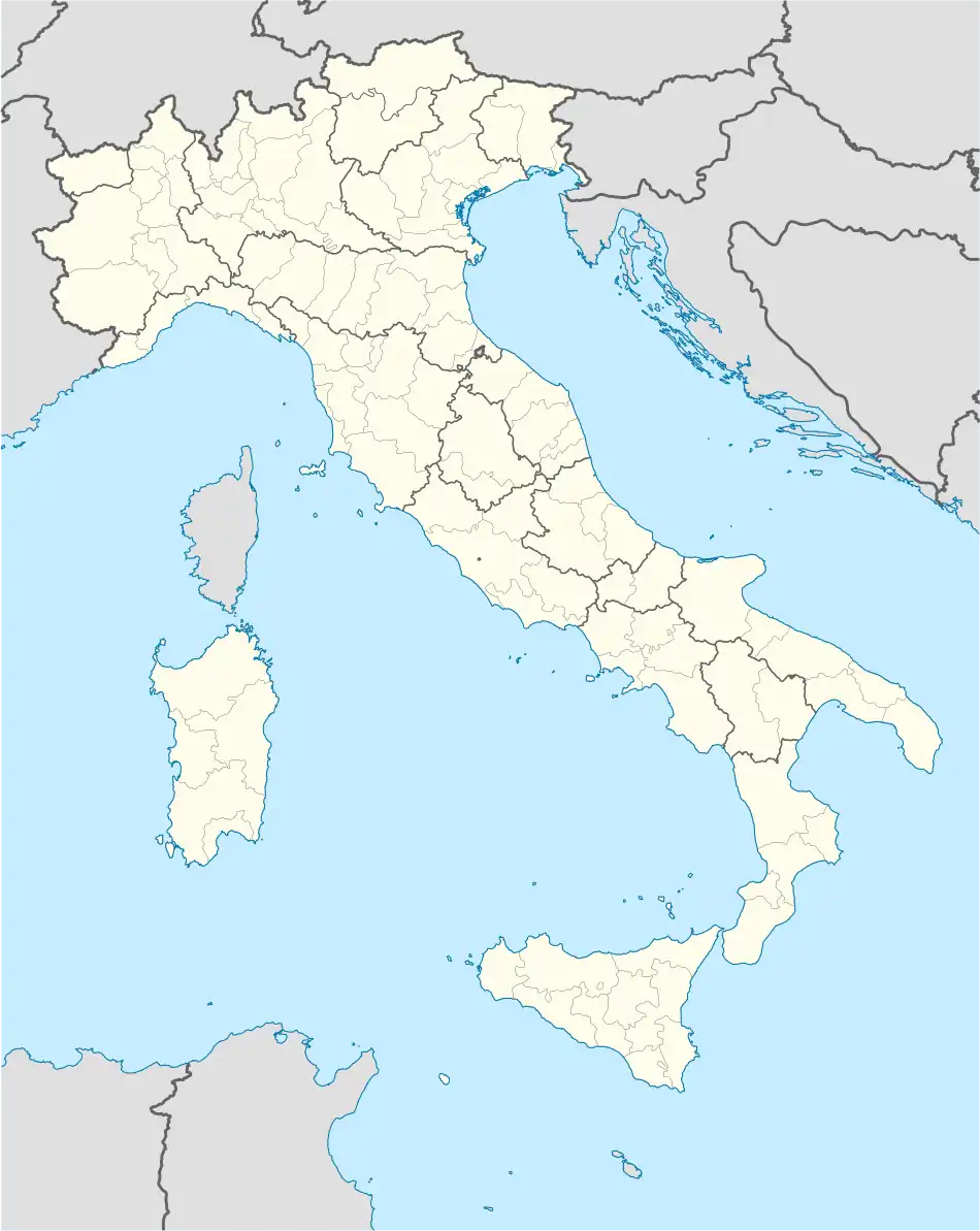 Campomarino Location of Campomarino in Italy 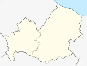 Campomarino Campomarino (Molise) | |
| Coordinates: 41°57′N 15°2′E / 41.950°N 15.033°E | |
| Country | Italy |
| Region | Molise |
| Province | Campobasso (CB) |
| Frazioni | Nuova Cliternia, Ramitelli, Campomarino Lido |
| Government | |
| • Mayor | Francesco Cammilleri |
| Area | |
| • Total | 76.68 km2 (29.61 sq mi) |
| Elevation | 52 m (171 ft) |
| Population (30 November 2017)[2] | |
| • Total | 8,075 |
| • Density | 110/km2 (270/sq mi) |
| Demonym | Campomarinesi |
| Time zone | UTC+1 (CET) |
| • Summer (DST) | UTC+2 (CEST) |
| Postal code | 86042 |
| Dialing code | 0875 |
| Patron saint | St. Christine |
| Saint day | July 24 |
| Website | Official website |
Campomarino (Arbërisht: Këmarini) is an Arbëreshë comune in the Province of Campobasso, in the Italian region Molise, located about 50 kilometres (31 mi) northeast of Campobasso, and about 5 kilometres (3 mi) southeast of Termoli.
The commune includes the seaside/tourist resort of Campomarino Lido, just above sea level, and the village of Campomarino, located on a hill behind it. Campomarino borders the following municipalities: Chieuti, Guglionesi, Portocannone, San Martino in Pensilis, Termoli.
References
- ↑ "Superficie di Comuni Province e Regioni italiane al 9 ottobre 2011". Italian National Institute of Statistics. Retrieved 16 March 2019.
- ↑ All demographics and other statistics: Italian statistical institute Istat.
External links
Wikimedia Commons has media related to Campomarino.
This article is issued from Wikipedia. The text is licensed under Creative Commons - Attribution - Sharealike. Additional terms may apply for the media files.