Montecilfone
Munxhufuni | |
|---|---|
| Comune di Montecilfone | |
Location of Montecilfone | |
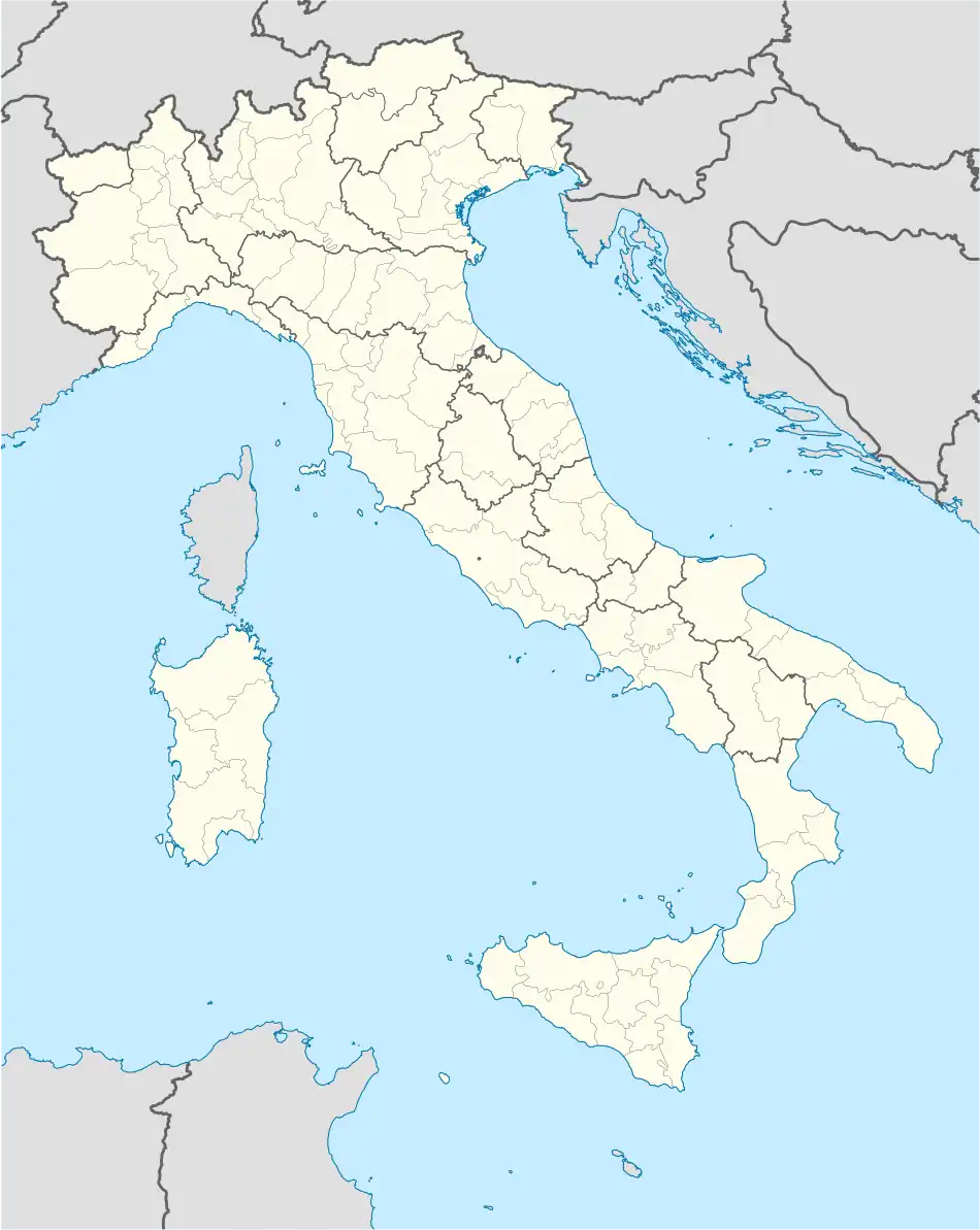 Montecilfone Location of Montecilfone in Italy 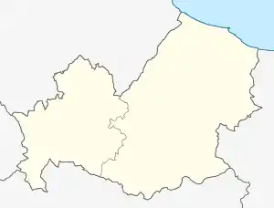 Montecilfone Montecilfone (Molise) | |
| Coordinates: 41°54′N 14°50′E / 41.900°N 14.833°E | |
| Country | Italy |
| Region | Molise |
| Province | Campobasso (CB) |
| Government | |
| • Mayor | Franco Pallotta |
| Area | |
| • Total | 22.92 km2 (8.85 sq mi) |
| Elevation | 405 m (1,329 ft) |
| Population (30 November 2017)[2] | |
| • Total | 1,366 |
| • Density | 60/km2 (150/sq mi) |
| Demonym | Montecilfonesi |
| Time zone | UTC+1 (CET) |
| • Summer (DST) | UTC+2 (CEST) |
| Postal code | 86032 |
| Dialing code | 0875 |
| Website | Official website |
Montecilfone (Arbërisht: Munxhufuni) is an Arbëreshë comune in the Province of Campobasso, in the Italian region of Molise, located about 40 kilometres (25 mi) northeast of Campobasso.
Montecilfone borders the following municipalities: Guglionesi, Montenero di Bisaccia, Palata.
References
- ↑ "Superficie di Comuni Province e Regioni italiane al 9 ottobre 2011". Italian National Institute of Statistics. Retrieved 16 March 2019.
- ↑ All demographics and other statistics: Italian statistical institute Istat.
This article is issued from Wikipedia. The text is licensed under Creative Commons - Attribution - Sharealike. Additional terms may apply for the media files.