40°30′56″N 43°48′48″E / 40.51556°N 43.81333°E
Dzithankov
Ձիթհանքով | |
|---|---|
 Dzithankov 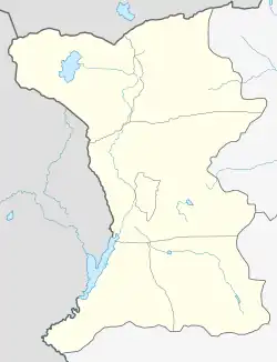 Dzithankov | |
| Coordinates: 40°30′56″N 43°48′48″E / 40.51556°N 43.81333°E | |
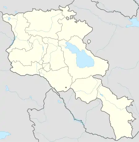
| Country | Armenia |
| Province | Shirak |
| Municipality | Ani |
| Elevation | 1,740 m (5,710 ft) |
| Population (2008) | |
| • Total | 1,262 |
| Time zone | UTC+4 |
| • Summer (DST) | UTC+5 |
Dzithankov (Armenian: Ձիթհանքով) is a village in the Ani Municipality of the Shirak Province of Armenia.
Demographics
| Year | Pop. | ±% p.a. |
|---|---|---|
| 1873 | 633 | — |
| 1897 | 1,065 | +2.19% |
| 1906 | 1,260 | +1.89% |
| 1926 | 1,406 | +0.55% |
| 1939 | 1,708 | +1.51% |
| 1959 | 1,580 | −0.39% |
| 1970 | 1,372 | −1.28% |
| 1979 | 1,259 | −0.95% |
| 2001 | 1,332 | +0.26% |
| 2004 | 1,420 | +2.16% |
| Source: [1] | ||
References
- ↑ Հայաստանի Հանրապետության բնակավայրերի բառարան [Republic of Armenia settlements dictionary] (PDF) (in Armenian). Yerevan: Cadastre Committee of the Republic of Armenia. 2008. Archived from the original (PDF) on 11 March 2018.
- Dzithankov at GEOnet Names Server
- World Gazetteer: Armenia – World-Gazetteer.com
- Report of the results of the 2001 Armenian Census, Statistical Committee of Armenia
Capital: Gyumri | ||
| Urban settlements | 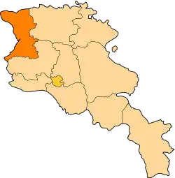 | |
| Akhuryan Municipality | ||
| Amasia Municipality | ||
| Ani Municipality | ||
| Artik Municipality | ||
| Ashotsk Municipality | ||
This article is issued from Wikipedia. The text is licensed under Creative Commons - Attribution - Sharealike. Additional terms may apply for the media files.