Getap
Գետափ | |
|---|---|
 Getap 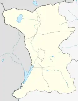 Getap | |
| Coordinates: 40°39′N 44°00′E / 40.650°N 44.000°E | |
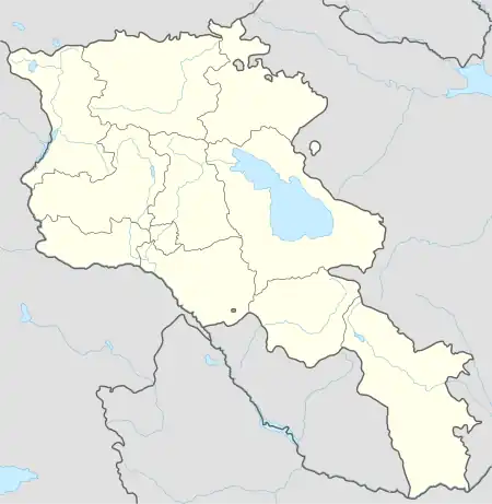
| Country | Armenia |
| Province | Shirak |
| Municipality | Artik |
| Elevation | 1,750 m (5,740 ft) |
| Population (2010) | |
| • Total | 822 |
| Time zone | UTC+4 |
| • Summer (DST) | UTC+5 |
| Getapi at GEOnet Names Server | |
Getap (Armenian: Գետափ) is a village in the Artik Municipality of the Shirak Province of Armenia. The Statistical Committee of Armenia reported its population was 822 in 2010,[1] up from 819 at the 2001 census.[2]
Demographics
The population of the village since 1831 is as follows:[3]
| Year | Population |
|---|---|
| 1831 | 84 |
| 1897 | 503 |
| 1926 | 640 |
| 1939 | 674 |
| 1959 | 654 |
| 1970 | 661 |
| 1979 | 606 |
| 2001 | 819 |
| 2004 | 822 |
References
- ↑ "Marzes of Armenia and Yerevan City in Figures, 2010" (PDF). Statistical Committee of Armenia.
- ↑ Report of the results of the 2001 Armenian Census, Statistical Committee of Armenia
- ↑ Հայաստանի Հանրապետության բնակավայրերի բառարան [Republic of Armenia settlements dictionary] (PDF) (in Armenian). Yerevan: Cadastre Committee of the Republic of Armenia. 2008. Archived from the original (PDF) on 11 March 2018.
Capital: Gyumri | ||
| Urban settlements | 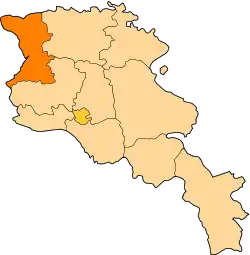 | |
| Akhuryan Municipality | ||
| Amasia Municipality | ||
| Ani Municipality | ||
| Artik Municipality | ||
| Ashotsk Municipality | ||
This article is issued from Wikipedia. The text is licensed under Creative Commons - Attribution - Sharealike. Additional terms may apply for the media files.