Glenevis | |
|---|---|
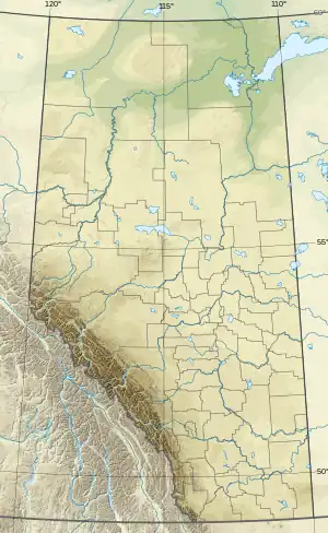 Glenevis Location of Glenevis  Glenevis Glenevis (Canada) | |
| Coordinates: 53°47′23″N 114°31′01″W / 53.78972°N 114.51694°W | |
| Country | Canada |
| Province | Alberta |
| Region | Central Alberta |
| Census division | 13 |
| Municipal district | Lac Ste. Anne County |
| Government | |
| • Type | Unincorporated |
| • Governing body | Lac Ste. Anne County Council |
| Population (2008)[1] | |
| • Total | 49 |
| Time zone | UTC−07:00 (MST) |
| • Summer (DST) | UTC−06:00 (MDT) |
| Area code(s) | 780, 587, 825 |
Glenevis is a hamlet in central Alberta, Canada within Lac Ste. Anne County.[2] It is located on Highway 43, approximately 71 kilometres (44 mi) northwest of Edmonton.
The community takes its name from Glennevis, in Nova Scotia.[3]
The former site of Glennevis School house from 1917 to 1947 which potentially served as a unofficial residential school for Alexis band members for a period of one year. Confirmation has yet to be made.
Climate
| Climate data for Glenevis | |||||||||||||
|---|---|---|---|---|---|---|---|---|---|---|---|---|---|
| Month | Jan | Feb | Mar | Apr | May | Jun | Jul | Aug | Sep | Oct | Nov | Dec | Year |
| Record high °C (°F) | 13 (55) |
13.3 (55.9) |
15.5 (59.9) |
29.4 (84.9) |
31 (88) |
31.1 (88.0) |
31.5 (88.7) |
32 (90) |
33 (91) |
30 (86) |
20.5 (68.9) |
12.2 (54.0) |
33 (91) |
| Mean daily maximum °C (°F) | −7.1 (19.2) |
−3.8 (25.2) |
1.7 (35.1) |
10.7 (51.3) |
17.2 (63.0) |
20.4 (68.7) |
22.1 (71.8) |
21.1 (70.0) |
15.5 (59.9) |
10.9 (51.6) |
0 (32) |
−6.9 (19.6) |
8.5 (47.3) |
| Daily mean °C (°F) | −12.1 (10.2) |
−9.2 (15.4) |
−3.8 (25.2) |
4.3 (39.7) |
10.4 (50.7) |
13.8 (56.8) |
15.7 (60.3) |
14.7 (58.5) |
9.5 (49.1) |
5.1 (41.2) |
−4.5 (23.9) |
−11.6 (11.1) |
2.7 (36.9) |
| Mean daily minimum °C (°F) | −17 (1) |
−14.5 (5.9) |
−9.2 (15.4) |
−2.2 (28.0) |
3.5 (38.3) |
7.1 (44.8) |
9.3 (48.7) |
8.2 (46.8) |
3.5 (38.3) |
−0.7 (30.7) |
−8.9 (16.0) |
−16.2 (2.8) |
−3.1 (26.4) |
| Record low °C (°F) | −42.2 (−44.0) |
−36.5 (−33.7) |
−32.8 (−27.0) |
−27.5 (−17.5) |
−7 (19) |
−1.1 (30.0) |
0.5 (32.9) |
−0.6 (30.9) |
−7.8 (18.0) |
−27 (−17) |
−32.8 (−27.0) |
−41.1 (−42.0) |
−42.2 (−44.0) |
| Average precipitation mm (inches) | 32 (1.3) |
23.2 (0.91) |
27.4 (1.08) |
26.6 (1.05) |
55.3 (2.18) |
104 (4.1) |
108.4 (4.27) |
70.8 (2.79) |
54.5 (2.15) |
25 (1.0) |
21.4 (0.84) |
36.8 (1.45) |
585.6 (23.06) |
| Source: Environment Canada[4] | |||||||||||||
Demographics
The population of Glenevis according to the 2008 municipal census conducted by Lac Ste. Anne County is 49.[1]
See also
References
- 1 2 "Alberta Population Summary: Alberta's Hamlets Alphabetically, 2010" (PDF). Alberta Population. Retrieved September 25, 2021.
- ↑ "Specialized and Rural Municipalities and Their Communities" (PDF). Alberta Municipal Affairs. January 12, 2022. Retrieved January 21, 2022.
- ↑ Place-names of Alberta. Ottawa: Geographic Board of Canada. 1928. p. 58.
- ↑ Environment Canada—Canadian Climate Normals 1971–2000, accessed 3 April 2010
This article is issued from Wikipedia. The text is licensed under Creative Commons - Attribution - Sharealike. Additional terms may apply for the media files.