Wardlow | |
|---|---|
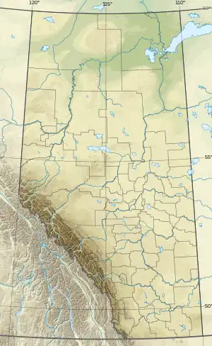 Wardlow Location of Wardlow  Wardlow Wardlow (Canada) | |
| Coordinates: 50°54′19″N 111°32′46″W / 50.90528°N 111.54611°W | |
| Country | Canada |
| Province | Alberta |
| Region | Southern Alberta |
| Census division | 4 |
| Special area | Special Area No. 2 |
| Government | |
| • Type | Unincorporated |
| • Governing body | Special Areas Board |
| Population (1991)[1] | |
| • Total | 28 |
| Time zone | UTC−07:00 (MST) |
| • Summer (DST) | UTC−06:00 (MDT) |
| Area code(s) | 403, 587, 825 |
Wardlow is a hamlet in southern Alberta, Canada within Special Area No. 2.[2][3] It is located approximately 24 kilometres (15 mi) east of Highway 36 and 45 kilometres (28 mi) northeast of Brooks.
Demographics
Wardlow recorded a population of 28 in the 1991 Census of Population conducted by Statistics Canada.[1]
See also
References
- 1 2 "91 Census: Unincorporated Places — Population and Dwelling Counts" (PDF). Statistics Canada. June 1993. Retrieved September 25, 2021.
- ↑ "Specialized and Rural Municipalities and Their Communities" (PDF). Alberta Municipal Affairs. January 12, 2022. Retrieved January 21, 2022.
- ↑ Statistics Canada (March 5, 2010). "Standard Geographical Classification 2006 – Special Area No. 2, geographical codes and localities, 2006". Retrieved July 11, 2010.
This article is issued from Wikipedia. The text is licensed under Creative Commons - Attribution - Sharealike. Additional terms may apply for the media files.