Iniesta | |
|---|---|
municipality | |
 | |
 Seal | |
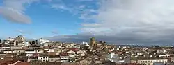
 Iniesta 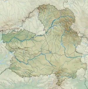 Iniesta | |
| Coordinates: 39°26′30″N 1°44′59″W / 39.44167°N 1.74972°W | |
| Country | |
| Autonomous community | |
| Province | Cuenca |
| Comarca | Manchuela |
| Area | |
| • Total | 232.3 km2 (89.7 sq mi) |
| Elevation | 969 m (3,179 ft) |
| Population (2018)[1] | |
| • Total | 4,299 |
| • Density | 19/km2 (48/sq mi) |
| Time zone | UTC+1 (CET) |
| • Summer (DST) | UTC+2 (CEST) |
Iniesta is a municipality located in the province of Cuenca, Castile-La Mancha, Spain. According to the 2009 census (INE), the municipality has a population of 4,685 inhabitants.
Villages
- Iniesta
- Alcahozo
- Casas de Juan Fernández
See also
References
- ↑ Municipal Register of Spain 2018. National Statistics Institute.
External links
This article is issued from Wikipedia. The text is licensed under Creative Commons - Attribution - Sharealike. Additional terms may apply for the media files.