Quintanar del Rey | |
|---|---|
Municipality | |
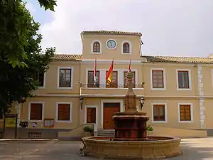 Old Town Hall of Quintanar del Rey | |
 Flag  Coat of arms | |
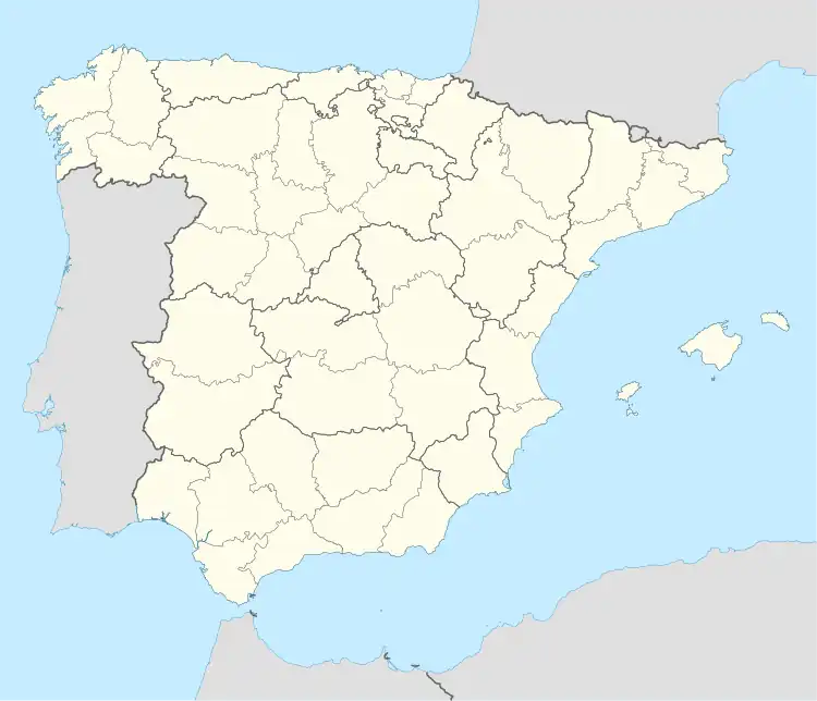 Quintanar del Rey Location in Spain | |
| Coordinates: 39°20′44″N 1°55′41″W / 39.34556°N 1.92806°W | |
| Country | |
| Autonomous Community | |
| Province | Cuenca |
| Comarca | Manchuela |
| Government | |
| • Mayor | Martín Cebrián López (PSOE) |
| Area | |
| • Total | 80 km2 (30 sq mi) |
| Elevation (AMSL) | 728 m (2,388 ft) |
| Population (2018)[1] | |
| • Total | 7,589 |
| • Density | 95/km2 (250/sq mi) |
| Time zone | UTC+1 (CET) |
| • Summer (DST) | UTC+2 (CEST (GMT +2)) |
| Postal code | 16220 |
| Area code | +34 (Spain) + 969 (Cuenca) |
| Website | quintanardelrey.es |
Quintanar del Rey is a municipality in Cuenca, Castile-La Mancha, Spain. It has a population of 8,043.
References
- ↑ Municipal Register of Spain 2018. National Statistics Institute.
39°20′N 1°56′W / 39.333°N 1.933°W
This article is issued from Wikipedia. The text is licensed under Creative Commons - Attribution - Sharealike. Additional terms may apply for the media files.