Itaperuna | |
|---|---|
Municipality | |
| Município de Itaperuna | |
 | |
 Flag  Seal | |
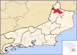 Location of Itaperuna in the state of Rio de Janeiro | |
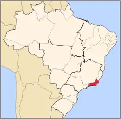
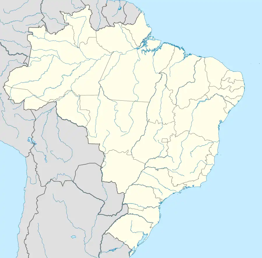 Itaperuna Location of Itaperuna in Brazil | |
| Coordinates: 21°12′18″S 41°53′16″W / 21.20500°S 41.88778°W | |
| Country | |
| Region | Southeast |
| State | |
| Government | |
| • Prefeito | Marcus Vinícius de Oliveira Pinto (PR) |
| Area | |
| • Total | 1,105.566 km2 (426.861 sq mi) |
| Elevation | 108 m (354 ft) |
| Population (2022 [1]) | |
| • Total | 101,041 |
| • Density | 91/km2 (240/sq mi) |
| Time zone | UTC-3 (UTC-3) |
| Website | |
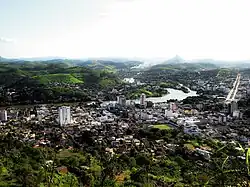
Itaperuna (Portuguese pronunciation: [itapeˈɾunɐ]) is a municipality in the Brazilian state of Rio de Janeiro. It had a population of 101,041 in 2022, and has an area of 1.105,3 km2.[2][3]
History
Itaperuna was founded in 1889, after being separated from the municipality of Campos dos Goytacazes.[4]
Location
Itaperuna is located 230 km from the state capital Rio de Janeiro. Its neighbouring municipalities are:[5]
- Bom Jesus do Itabapoana – north, northeast and east
- Campos dos Goytacazes – east
- Italva – east and southeast
- Cambuci – south
- São José de Ubá – south
- Miracema – southwest
- Laje do Muriaé – west
- Patrocínio de Muriaé – northwest
- Eugenópolis – northwest
- Antônio Prado de Minas – northwest
Transportation
The city is served by Ernani do Amaral Peixoto Airport.
References
- ↑ IBGE 2022
- ↑ "Brazilian Institute of Geography and Statistics" (PDF). 2018. Retrieved 6 March 2019.
2018 Estimates of Population
- ↑ "Tabela 4709: População residente, Variação absoluta de população residente e Taxa de crescimento geométrico". sidra.ibge.gov.br. Retrieved 2023-10-26.
- ↑ IBGE. "IBGE Cities". Archived from the original on 2012-04-30.
- ↑ IBGE. "Political-Administrative Maps".
Capital: Rio de Janeiro | |||||||||||
| Mesoregion Baixadas |
|  | |||||||||
| Mesoregion Centro Fluminense |
| ||||||||||
| Mesoregion Metropolitana do Rio de Janeiro |
| ||||||||||
| Mesoregion Noroeste Fluminense |
| ||||||||||
| Mesoregion Norte Fluminense |
| ||||||||||
| Mesoregion Sul Fluminense |
| ||||||||||
This article is issued from Wikipedia. The text is licensed under Creative Commons - Attribution - Sharealike. Additional terms may apply for the media files.