Le Brouilh-Monbert | |
|---|---|
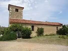 The church in Monbert | |
Location of Le Brouilh-Monbert | |
 Le Brouilh-Monbert 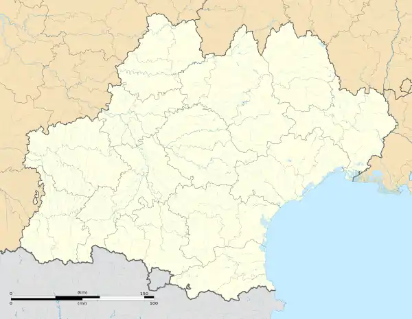 Le Brouilh-Monbert | |
| Coordinates: 43°40′05″N 0°23′41″E / 43.6681°N 0.3947°E | |
| Country | France |
| Region | Occitania |
| Department | Gers |
| Arrondissement | Mirande |
| Canton | Auch-1 |
| Intercommunality | Val de Gers |
| Government | |
| • Mayor (2020–2026) | André Baldini[1] |
| Area 1 | 12.96 km2 (5.00 sq mi) |
| Population | 240 |
| • Density | 19/km2 (48/sq mi) |
| Time zone | UTC+01:00 (CET) |
| • Summer (DST) | UTC+02:00 (CEST) |
| INSEE/Postal code | 32065 /32350 |
| Elevation | 115–246 m (377–807 ft) (avg. 123 m or 404 ft) |
| 1 French Land Register data, which excludes lakes, ponds, glaciers > 1 km2 (0.386 sq mi or 247 acres) and river estuaries. | |
Le Brouilh-Monbert (French pronunciation: [lə bʁuj mɔ̃bɛʁ]; Occitan: Lo Brolh e Montverd) is a commune in the Gers department in southwestern France.
Geography
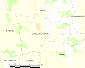
Le Brouilh-Monbert and its surrounding communes
Population
| Year | Pop. | ±% |
|---|---|---|
| 1962 | 289 | — |
| 1968 | 266 | −8.0% |
| 1975 | 228 | −14.3% |
| 1982 | 202 | −11.4% |
| 1990 | 207 | +2.5% |
| 1999 | 212 | +2.4% |
| 2008 | 255 | +20.3% |
See also
References
- ↑ "Répertoire national des élus: les maires". data.gouv.fr, Plateforme ouverte des données publiques françaises (in French). 9 August 2021.
- ↑ "Populations légales 2021". The National Institute of Statistics and Economic Studies. 28 December 2023.
Wikimedia Commons has media related to Le Brouilh-Monbert.
This article is issued from Wikipedia. The text is licensed under Creative Commons - Attribution - Sharealike. Additional terms may apply for the media files.