Manot | |
|---|---|
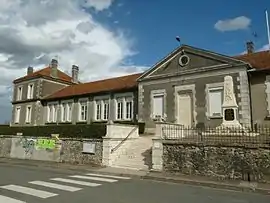 The town hall in Manot | |
Location of Manot | |
 Manot 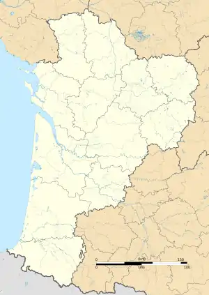 Manot | |
| Coordinates: 45°56′37″N 0°38′17″E / 45.9436°N 0.6381°E | |
| Country | France |
| Region | Nouvelle-Aquitaine |
| Department | Charente |
| Arrondissement | Confolens |
| Canton | Charente-Vienne |
| Government | |
| • Mayor (2020–2026) | Jean-Luc Dedieu[1] |
| Area 1 | 20.34 km2 (7.85 sq mi) |
| Population | 541 |
| • Density | 27/km2 (69/sq mi) |
| Time zone | UTC+01:00 (CET) |
| • Summer (DST) | UTC+02:00 (CEST) |
| INSEE/Postal code | 16205 /16500 |
| Elevation | 132–231 m (433–758 ft) (avg. 191 m or 627 ft) |
| 1 French Land Register data, which excludes lakes, ponds, glaciers > 1 km2 (0.386 sq mi or 247 acres) and river estuaries. | |
Manot (French pronunciation: [mano]; Occitan: Manòc) is a commune in the Charente department in southwestern France.
Population
| Year | Pop. | ±% p.a. |
|---|---|---|
| 1968 | 681 | — |
| 1975 | 672 | −0.19% |
| 1982 | 590 | −1.84% |
| 1990 | 584 | −0.13% |
| 1999 | 576 | −0.15% |
| 2009 | 591 | +0.26% |
| 2014 | 589 | −0.07% |
| 2020 | 535 | −1.59% |
| Source: INSEE[3] | ||
See also
References
- ↑ "Répertoire national des élus: les maires". data.gouv.fr, Plateforme ouverte des données publiques françaises (in French). 2 December 2020.
- ↑ "Populations légales 2021". The National Institute of Statistics and Economic Studies. 28 December 2023.
- ↑ Population en historique depuis 1968, INSEE
Wikimedia Commons has media related to Manot.
This article is issued from Wikipedia. The text is licensed under Creative Commons - Attribution - Sharealike. Additional terms may apply for the media files.