Pointel | |
|---|---|
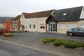 The town hall in Pointel | |
Location of Pointel | |
 Pointel 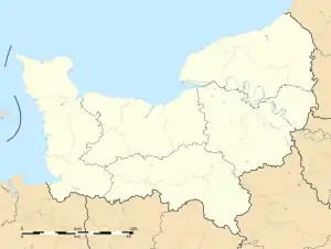 Pointel | |
| Coordinates: 48°42′02″N 0°20′54″W / 48.7006°N 0.3483°W | |
| Country | France |
| Region | Normandy |
| Department | Orne |
| Arrondissement | Argentan |
| Canton | Athis-Val de Rouvre |
| Intercommunality | CA Flers Agglo |
| Government | |
| • Mayor (2020–2026) | Jean-Luc Leportier[1] |
| Area 1 | 7.52 km2 (2.90 sq mi) |
| Population | 309 |
| • Density | 41/km2 (110/sq mi) |
| Time zone | UTC+01:00 (CET) |
| • Summer (DST) | UTC+02:00 (CEST) |
| INSEE/Postal code | 61332 /61220 |
| Elevation | 200–242 m (656–794 ft) (avg. 230 m or 750 ft) |
| 1 French Land Register data, which excludes lakes, ponds, glaciers > 1 km2 (0.386 sq mi or 247 acres) and river estuaries. | |
Pointel (French pronunciation: [pwɛ̃tɛl] ⓘ) is a commune in the Orne department in north-western France.
Geography
The commune is made up of the following collection of villages and hamlets, Le Bois de Pointel, Le Chênay, Pointel, L'Anglêcherie, Le Bois Jean and La Bourdonnière.[3]
It is 750 hectares (2.9 sq mi) in size. The highest point in the commune is 210 metres (690 ft).[4]
The commune has seven watercourses running through it, the rivers Rouvre and the Val du Breuil, plus five streams.[4] The five streams are known as the Roussieres, the Arthan, the Vaux, the Lange and la Source Philippe.[4]
Neighbouring communes[3] | |
|---|---|
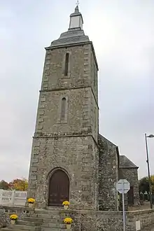
Pointel Church
See also
References
- ↑ "Répertoire national des élus: les maires" (in French). data.gouv.fr, Plateforme ouverte des données publiques françaises. 13 September 2022.
- ↑ "Populations légales 2021". The National Institute of Statistics and Economic Studies. 28 December 2023.
- 1 2 "Pointel · 61220, France". Pointel · 61220, France.
- 1 2 3 "Mairie de Pointel et sa commune (61220)". Annuaire-Mairie. 7 September 2023.
Wikimedia Commons has media related to Pointel.
This article is issued from Wikipedia. The text is licensed under Creative Commons - Attribution - Sharealike. Additional terms may apply for the media files.