Tharaux | |
|---|---|
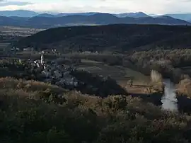 A general view of Tharaux | |
.svg.png.webp) Coat of arms | |
Location of Tharaux | |
 Tharaux 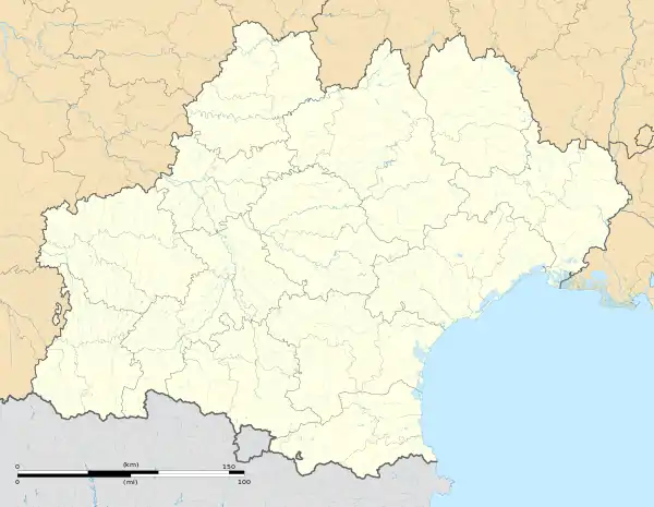 Tharaux | |
| Coordinates: 44°14′30″N 4°18′44″E / 44.2417°N 4.3122°E | |
| Country | France |
| Region | Occitania |
| Department | Gard |
| Arrondissement | Alès |
| Canton | Rousson |
| Government | |
| • Mayor (2020–2026) | Denis Guillaume[1] |
| Area 1 | 9.52 km2 (3.68 sq mi) |
| Population | 52 |
| • Density | 5.5/km2 (14/sq mi) |
| Time zone | UTC+01:00 (CET) |
| • Summer (DST) | UTC+02:00 (CEST) |
| INSEE/Postal code | 30327 /30430 |
| Elevation | 96–346 m (315–1,135 ft) (avg. 160 m or 520 ft) |
| 1 French Land Register data, which excludes lakes, ponds, glaciers > 1 km2 (0.386 sq mi or 247 acres) and river estuaries. | |
Tharaux (French pronunciation: [taʁo]; Occitan: Taraus) is a commune in the Gard department in southern France.
Population
| Year | Pop. | ±% p.a. |
|---|---|---|
| 1968 | 32 | — |
| 1975 | 20 | −6.49% |
| 1982 | 39 | +10.01% |
| 1990 | 50 | +3.15% |
| 1999 | 55 | +1.06% |
| 2009 | 65 | +1.68% |
| 2014 | 55 | −3.29% |
| 2020 | 55 | +0.00% |
| Source: INSEE[3] | ||
See also
References
- ↑ "Répertoire national des élus: les maires". data.gouv.fr, Plateforme ouverte des données publiques françaises (in French). 9 August 2021.
- ↑ "Populations légales 2021". The National Institute of Statistics and Economic Studies. 28 December 2023.
- ↑ Population en historique depuis 1968, INSEE
External links
Wikimedia Commons has media related to Tharaux.
This article is issued from Wikipedia. The text is licensed under Creative Commons - Attribution - Sharealike. Additional terms may apply for the media files.