Villechauve | |
|---|---|
Commune | |
.svg.png.webp) Coat of arms | |
Location of Villechauve | |
 Villechauve 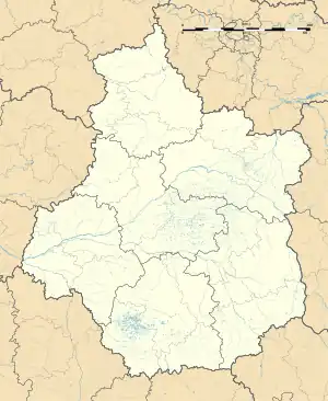 Villechauve | |
| Coordinates: 47°39′02″N 0°56′33″E / 47.6506°N 0.9425°E | |
| Country | France |
| Region | Centre-Val de Loire |
| Department | Loir-et-Cher |
| Arrondissement | Vendôme |
| Canton | Montoire-sur-le-Loir |
| Intercommunality | CA Territoires Vendômois |
| Government | |
| • Mayor (2020–2026) | Alain Lajoux[1] |
| Area 1 | 11.02 km2 (4.25 sq mi) |
| Population | 255 |
| • Density | 23/km2 (60/sq mi) |
| Time zone | UTC+01:00 (CET) |
| • Summer (DST) | UTC+02:00 (CEST) |
| INSEE/Postal code | 41278 /41310 |
| Elevation | 97–147 m (318–482 ft) (avg. 1,151 m or 3,776 ft) |
| 1 French Land Register data, which excludes lakes, ponds, glaciers > 1 km2 (0.386 sq mi or 247 acres) and river estuaries. | |
Villechauve (French pronunciation: [vilʃov]) is a commune in the Loir-et-Cher department in central France.
Population
| Year | Pop. | ±% p.a. |
|---|---|---|
| 1968 | 293 | — |
| 1975 | 266 | −1.37% |
| 1982 | 247 | −1.05% |
| 1990 | 251 | +0.20% |
| 1999 | 270 | +0.81% |
| 2007 | 288 | +0.81% |
| 2012 | 293 | +0.34% |
| 2017 | 276 | −1.19% |
| Source: INSEE[3] | ||
See also
References
- ↑ "Répertoire national des élus: les maires". data.gouv.fr, Plateforme ouverte des données publiques françaises (in French). 2 December 2020.
- ↑ "Populations légales 2021". The National Institute of Statistics and Economic Studies. 28 December 2023.
- ↑ Population en historique depuis 1968, INSEE
Wikimedia Commons has media related to Villechauve.
This article is issued from Wikipedia. The text is licensed under Creative Commons - Attribution - Sharealike. Additional terms may apply for the media files.